About Gaia Aerial Imagery
Gaia Aerial Imagery is a Long Island–based drone mapping and aerial imagery practice focused on helping people see, understand, document, and communicate the value of the places they care for from above.
Rooted in environmental science, conservation, and visual storytelling, Gaia supports coastal, conservation, and working lands across Long Island, New York, and the Northeast.
Through high-resolution drone mapping, aerial photography, and geospatial workflows, Gaia helps translate site conditions, environmental change, and land stewardship goals into compelling visuals for planning, reporting, outreach, and long-term management.
My Background
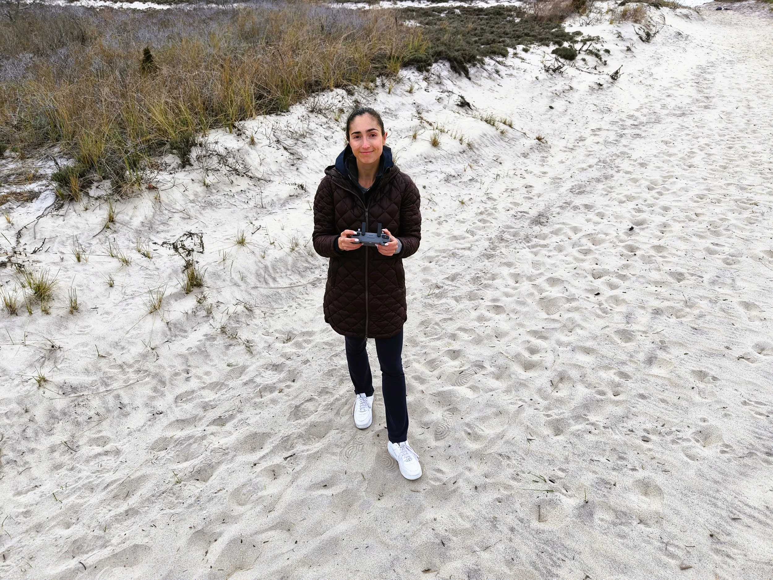
Founded by Anna Soccorsi, an FAA Part 107 certified drone pilot with an M.A. in conservation ecology from Columbia University, Gaia Aerial Imagery is grounded in both technical precision and ecological understanding.
My professional background spans coastal wildlife monitoring, environmental research, conservation communication, and renewable energy. This experience shapes how I approach every project: not simply as a drone flight, but as a site-specific opportunity to collect meaningful visual and spatial information.
Whether I’m documenting a shoreline, mapping a restoration area, photographing a vineyard, or capturing the progress of a managed landscape, my goal is to create imagery and data that are useful, accurate, and visually compelling.
Gaia’s Core Approach
1.) Drone Mapping for Spatial Context
Orthomosaic maps and elevation data provide a high-resolution overhead view of a site, supporting measurement, planning, baseline documentation, and repeat monitoring.
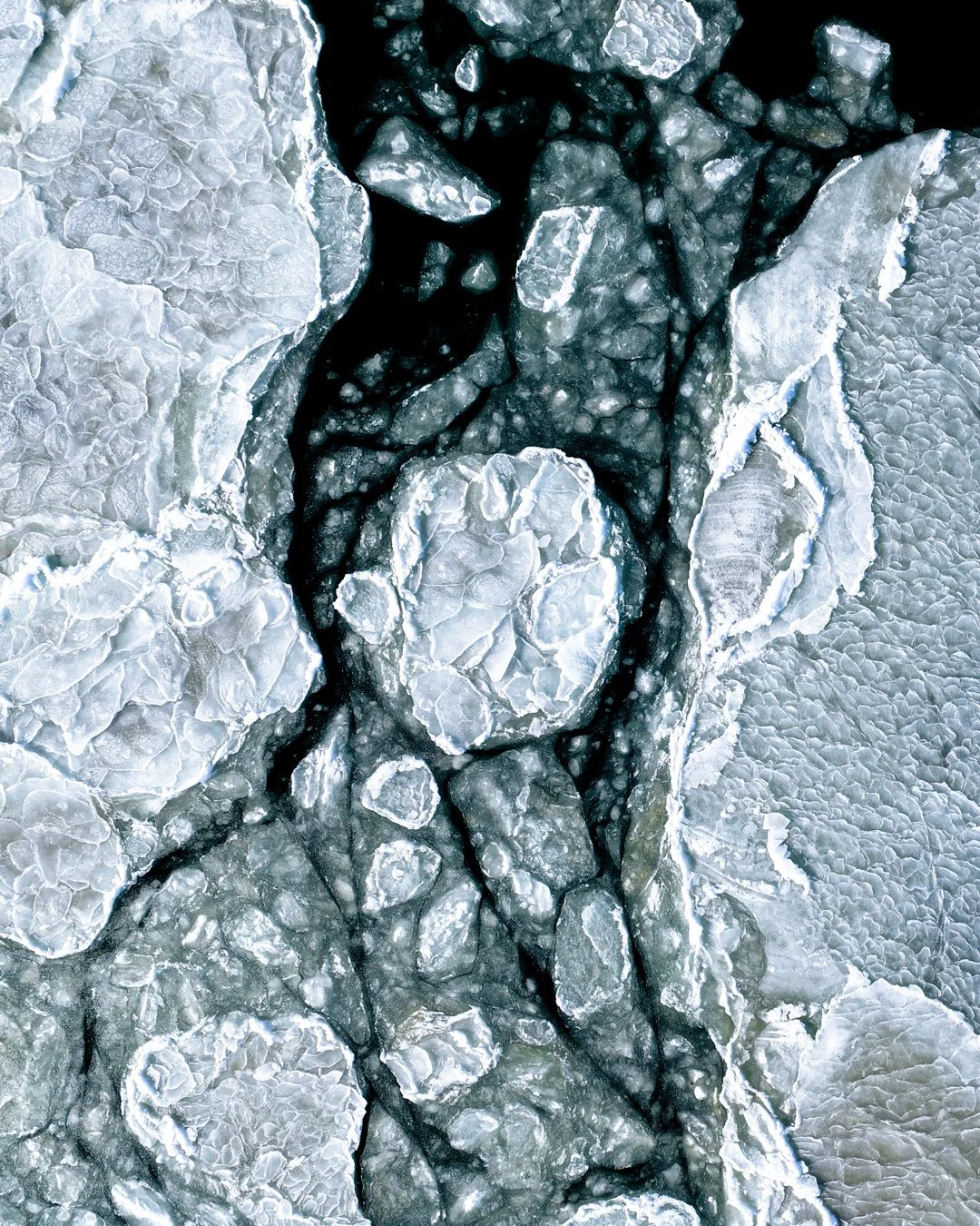
2.) Aerial Imagery for Visual Storytelling
Aerial photography captures the scale, character, and context of a landscape — helping clients communicate change, progress, stewardship, and place-based stories with clarity.
Together, these outputs bridge the gap between technical data and meaningful visual communication.
Gaia’s Practices & Principles
-
Each site is evaluated in advance to design flight paths that maximize data quality, spatial consistency, and relevance to the project’s objectives.
-
Operations are conducted with attention to wildlife, habitat sensitivity, surrounding communities, and site-specific environmental conditions.
-
Deliverables are tailored to each client’s needs — from edited aerial image sets and reporting visuals to orthomosaics, elevation products, and GIS-ready files.
-
Gaia’s work is informed by ecological training and field experience, helping ensure that imagery and mapping outputs are interpreted within the broader context of landscape change and land stewardship.
-
Aerial imagery is used not only to document a site, but to help communicate why it matters — for reports, websites, public outreach, grant materials, presentations, and long-term project records.
At Gaia Aerial Imagery, each project is guided by site conditions, project goals, environmental context, and the intended use of the final deliverables.
Equipment and Certification
All operations are conducted in accordance with FAA Part 107 regulations, supporting safe, compliant, and professional drone deployment across all project sites.
Gaia uses advanced drone platforms suited for both mapping and visual documentation, including:
DJI Matrice 4E — used for photogrammetry, orthomosaic generation, and elevation modeling
DJI Mavic 4 Pro — used for high-resolution aerial imagery and visual documentation
This combination of certified operation, specialized equipment, and environmental awareness allows Gaia to create reliable aerial products for coastal, conservation, and working landscapes.