
WHY GAIA
Context, Science, and Spatial Data — From a Single Flight
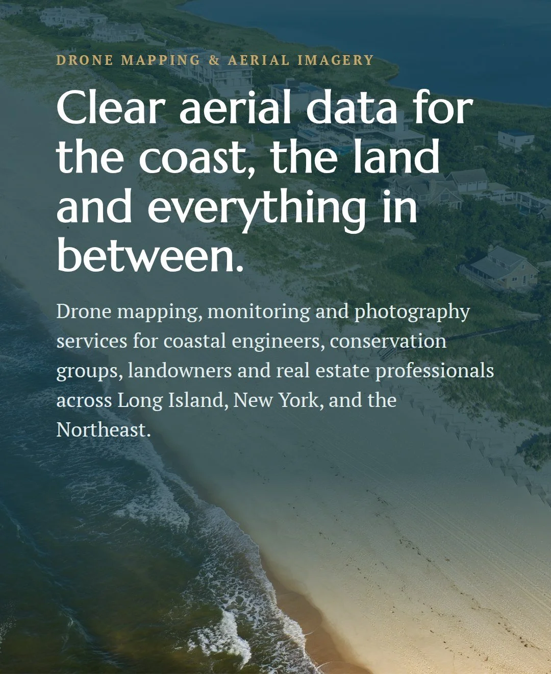
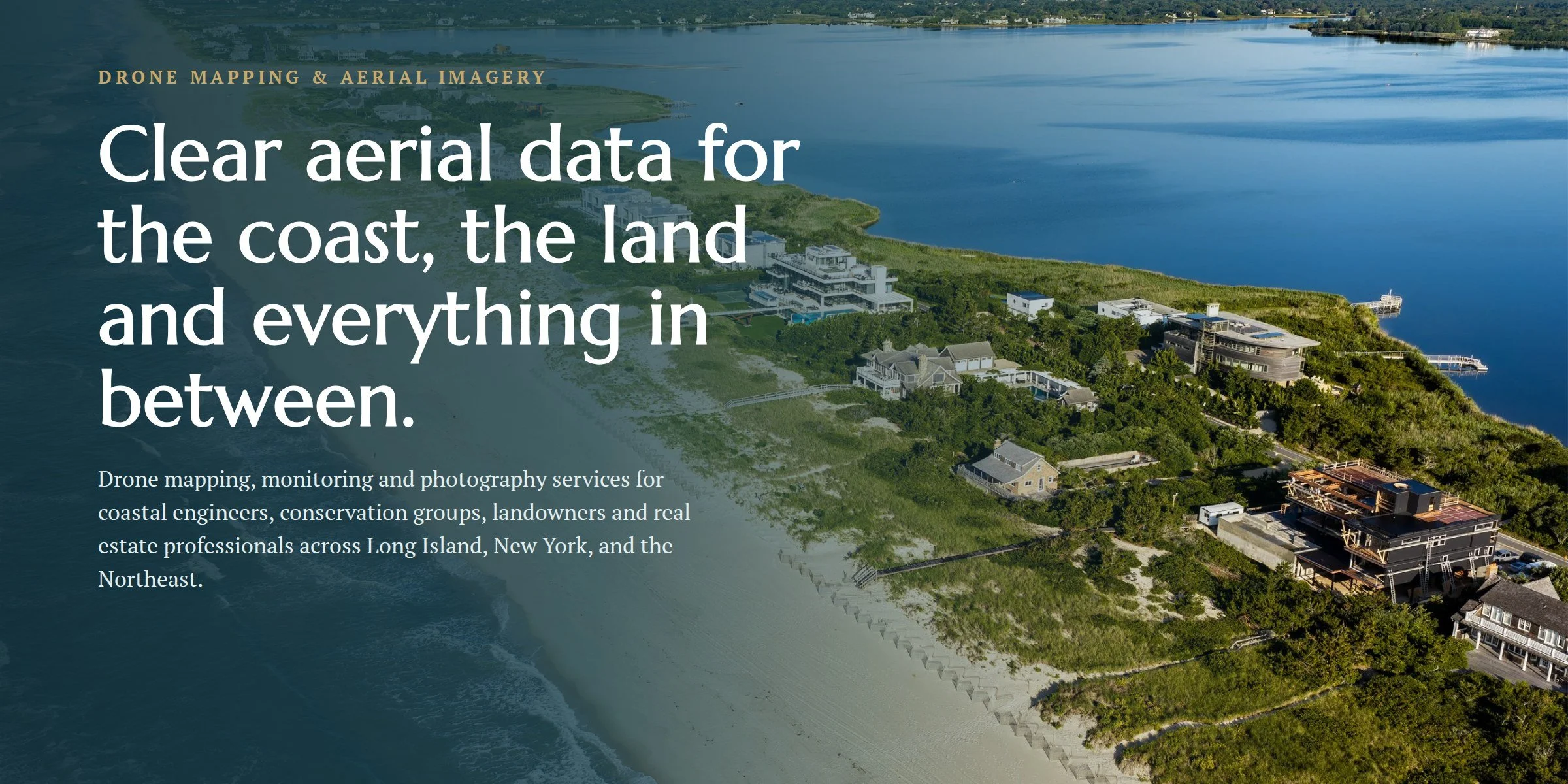
Most drone operators bring a camera. Gaia brings context, science, and data—pairing conservation expertise with professional drone operations to deliver aerial imagery and spatial products that do more than document a landscape
For conservation organizations and municipalities, that means monitoring change and communicating project outcomes. For farms, vineyards, landscape professionals, and property owners, it means capturing a place in its full context. Either way, it’s aerial work with an eye for the landscape.
Three Ways Gaia Can Help
-
![]()
Coastal & Environmental Mapping Support
Orthomosaics, elevation models and repeat monitoring for beaches, dunes, wetlands and other landscapes.
-
![]()
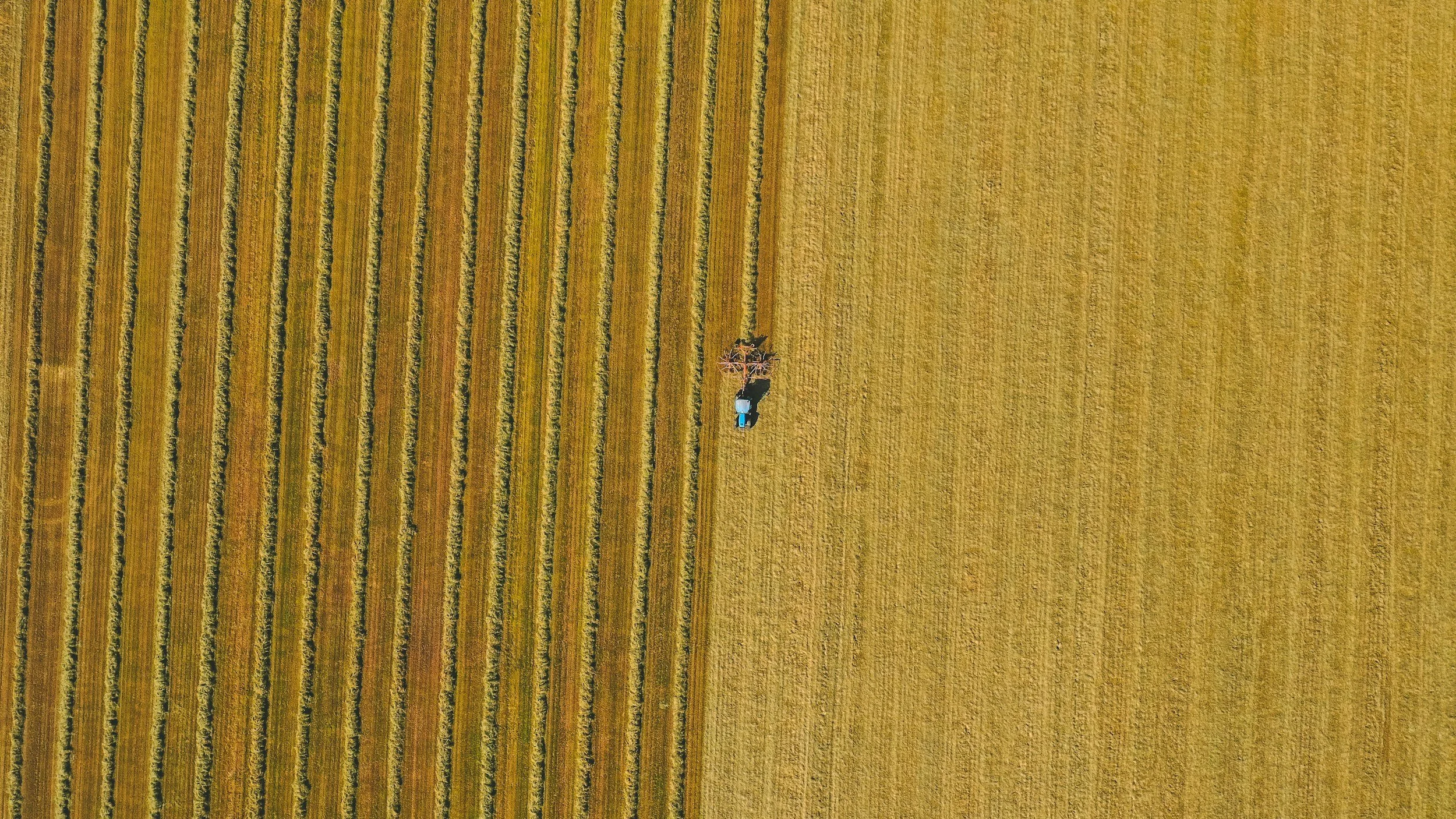
Working Landscape Imagery
Aerial mapping and photography for farms, vineyards and estates, from field and crop monitoring to seasonal change.
-
![]()
Real Estate Aerial Photography
Polished aerial photos and video that show a property, its setting and its views.

RECENT WORK
On the ground, and above it
DUNE RESTORATION · MAIDSTONE PARK BEACH
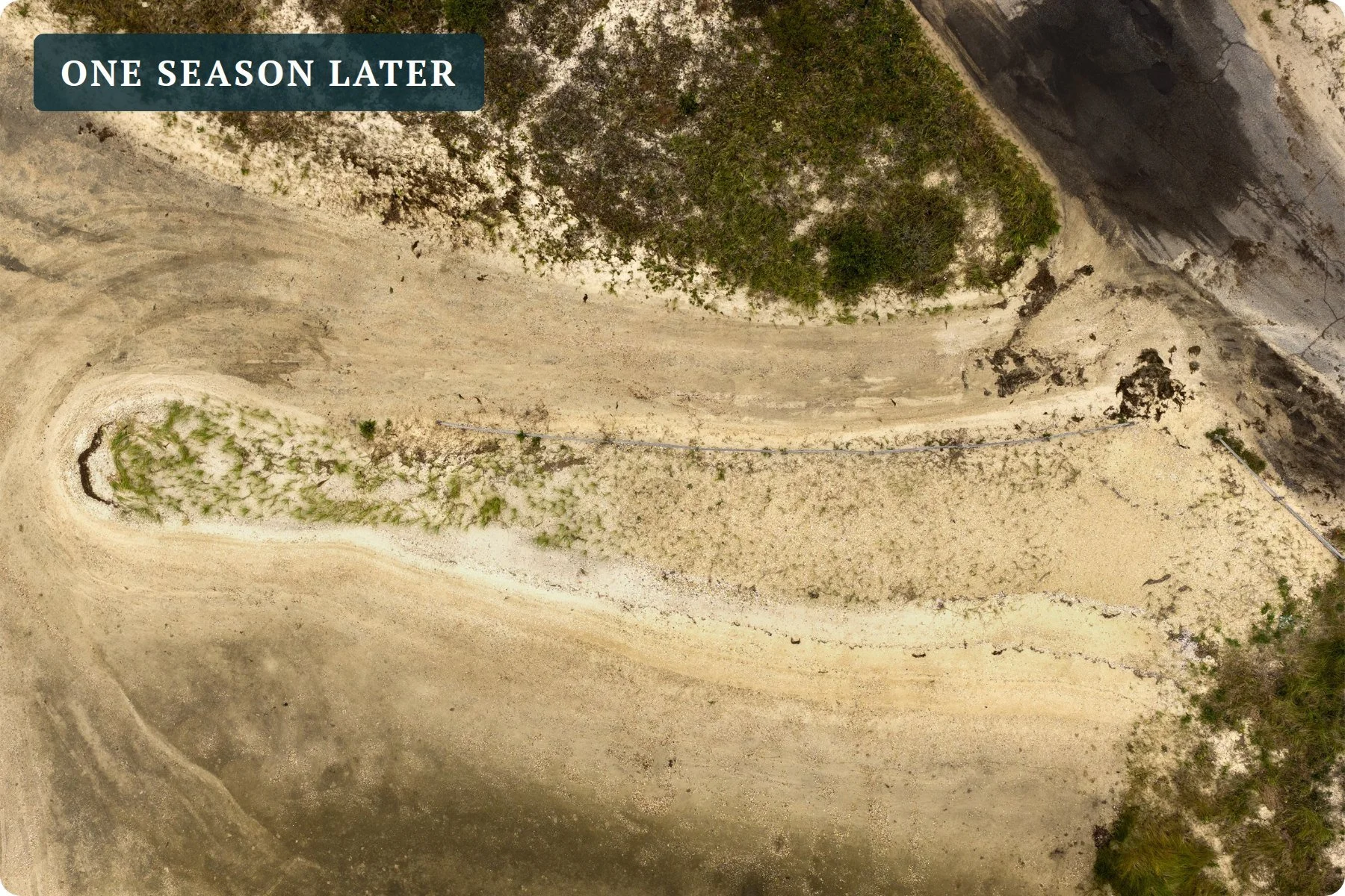
Dune restoration, before and after
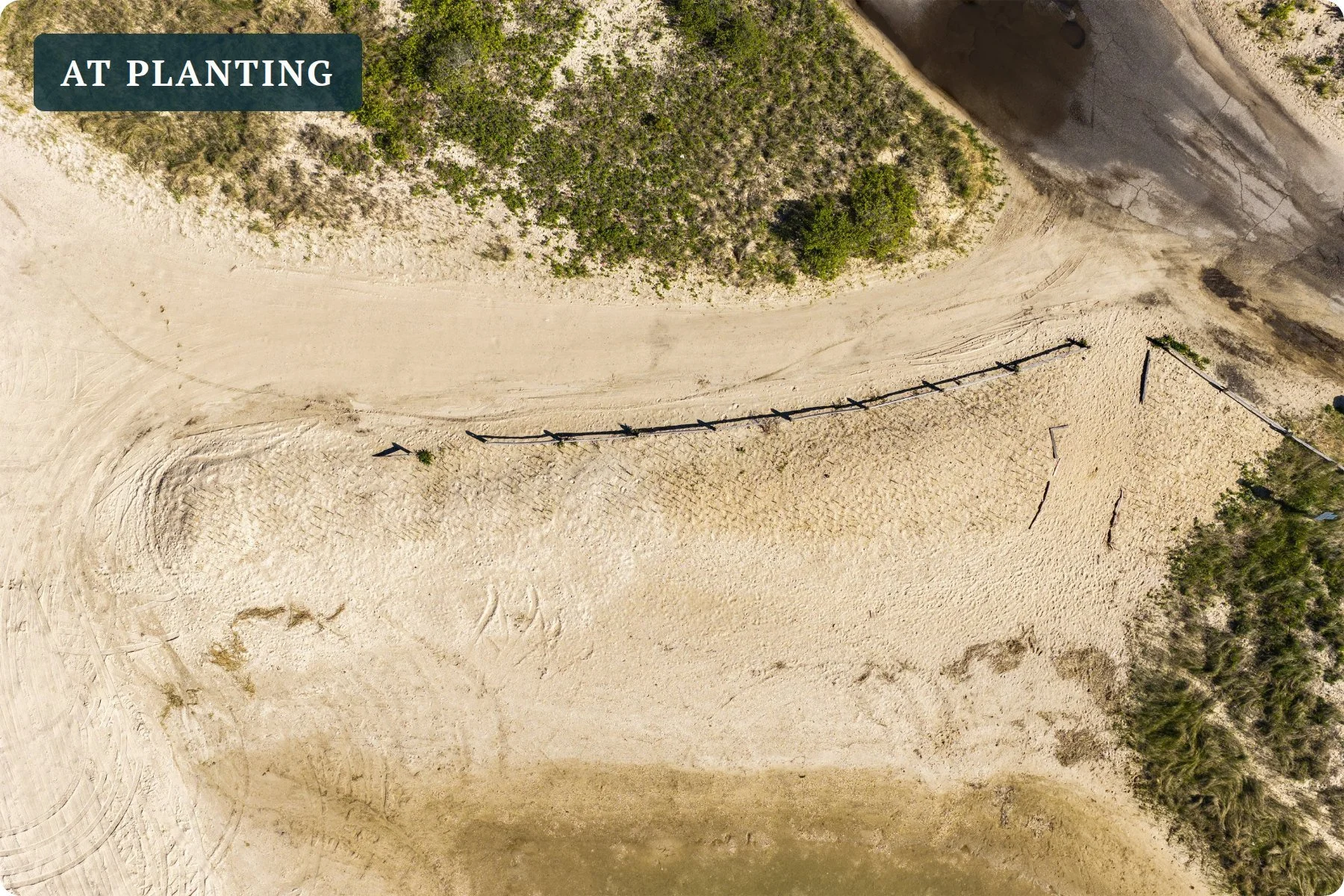
An aerial baseline of a community dune planting, re-flown from the same position to show how the beach grass took hold and held up following a nor’easter.
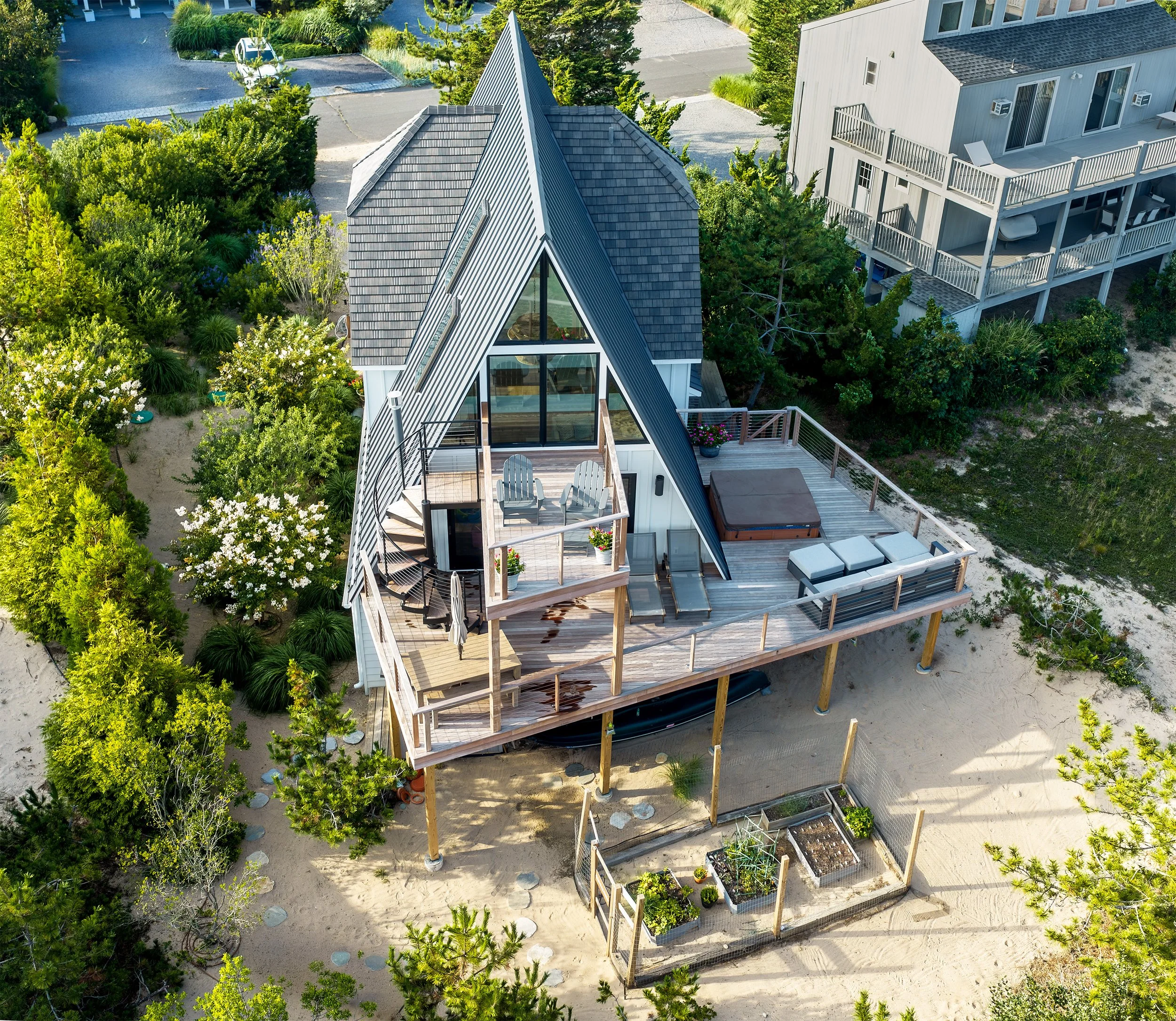
REAL ESTATE AND PROPERTY
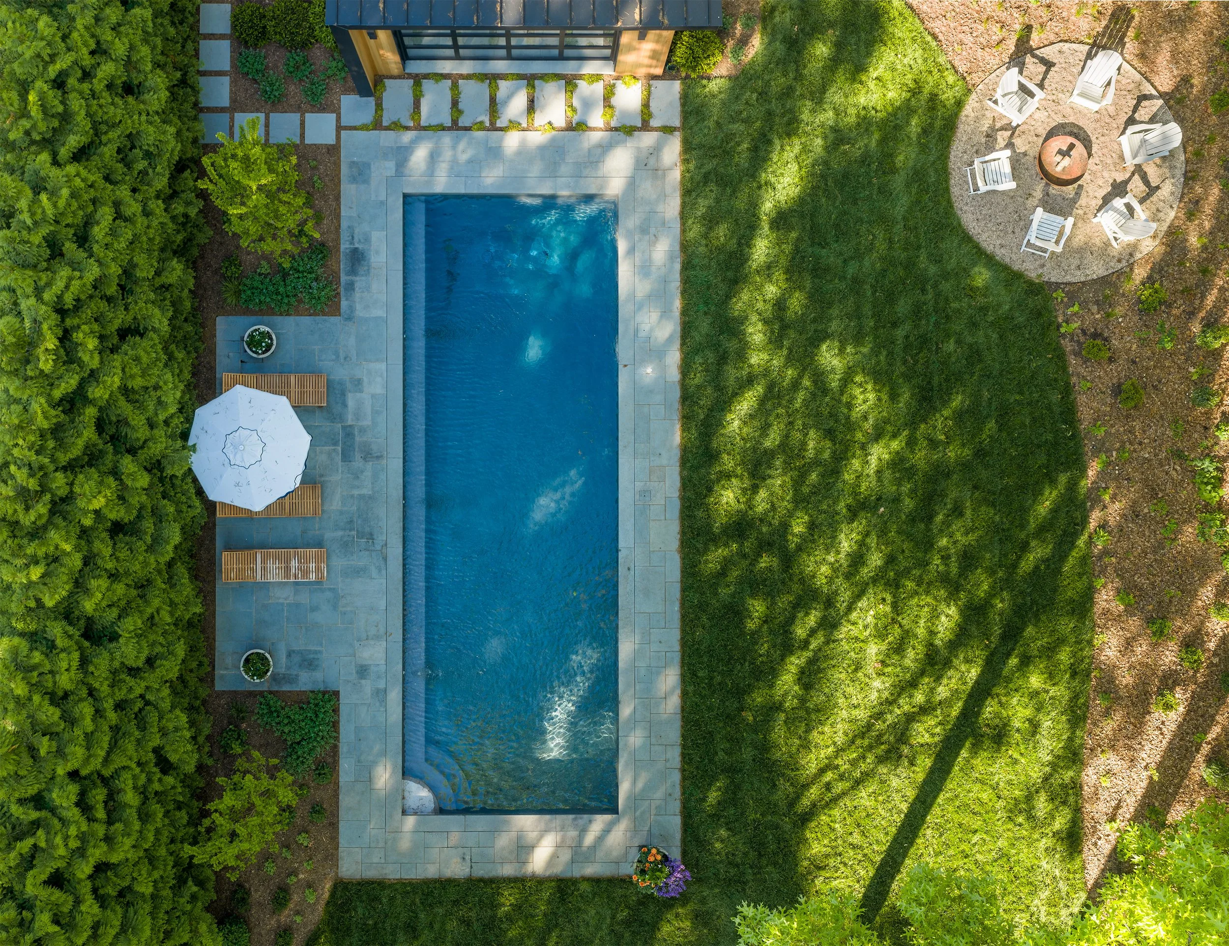
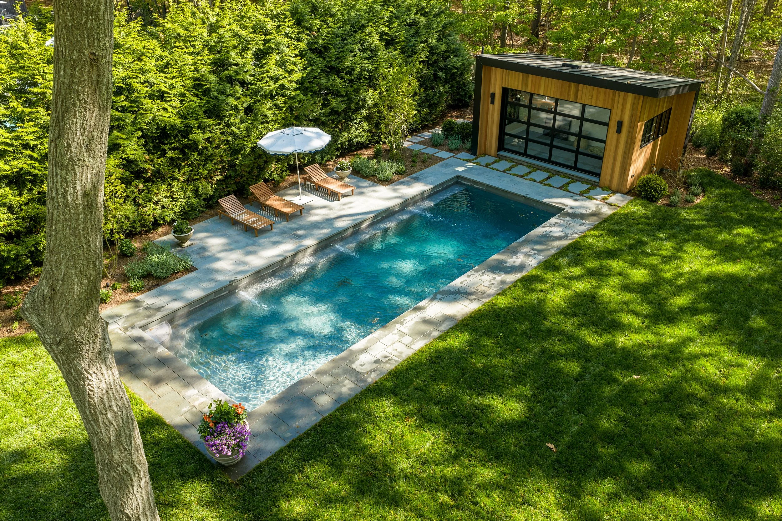
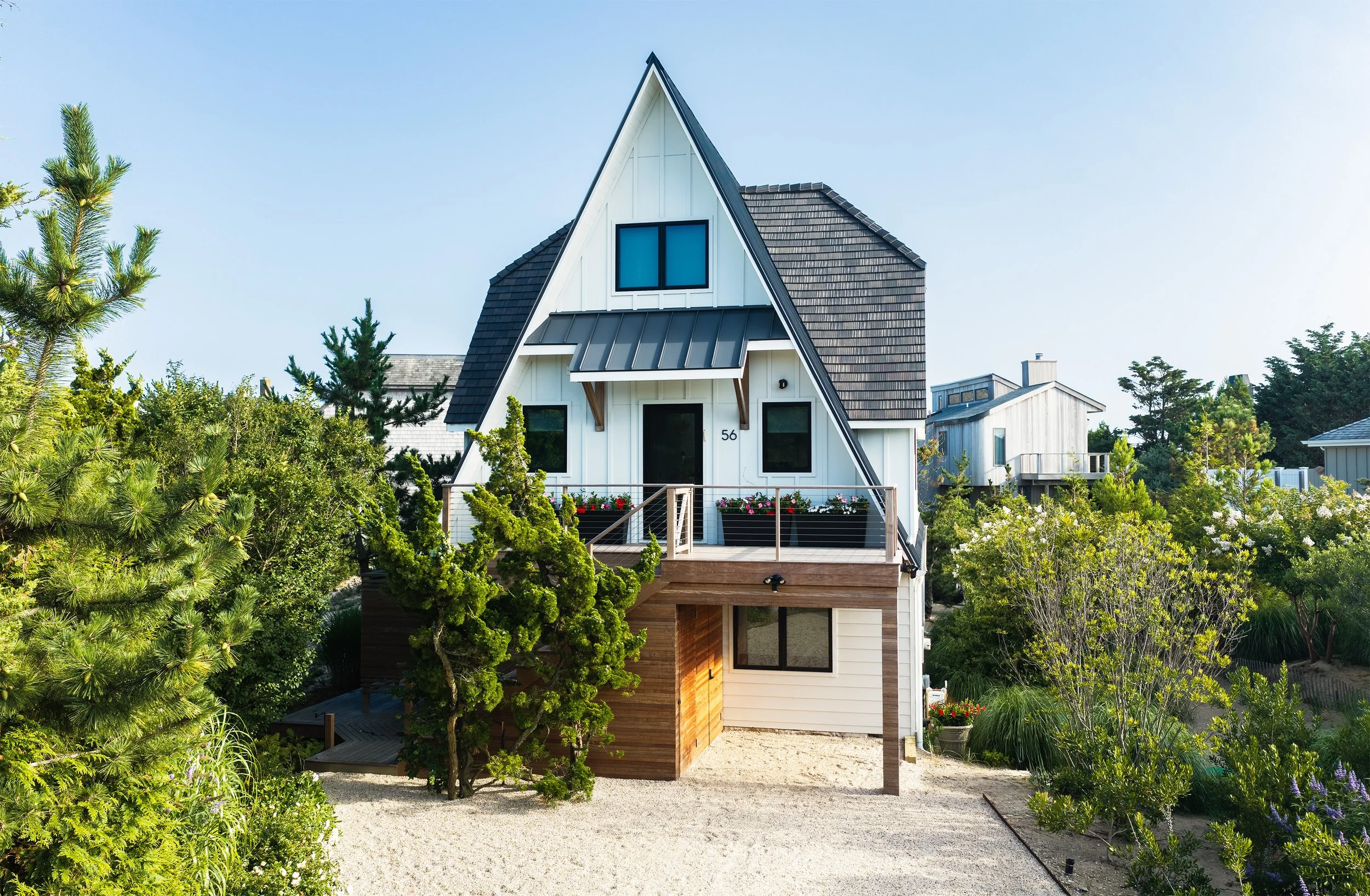
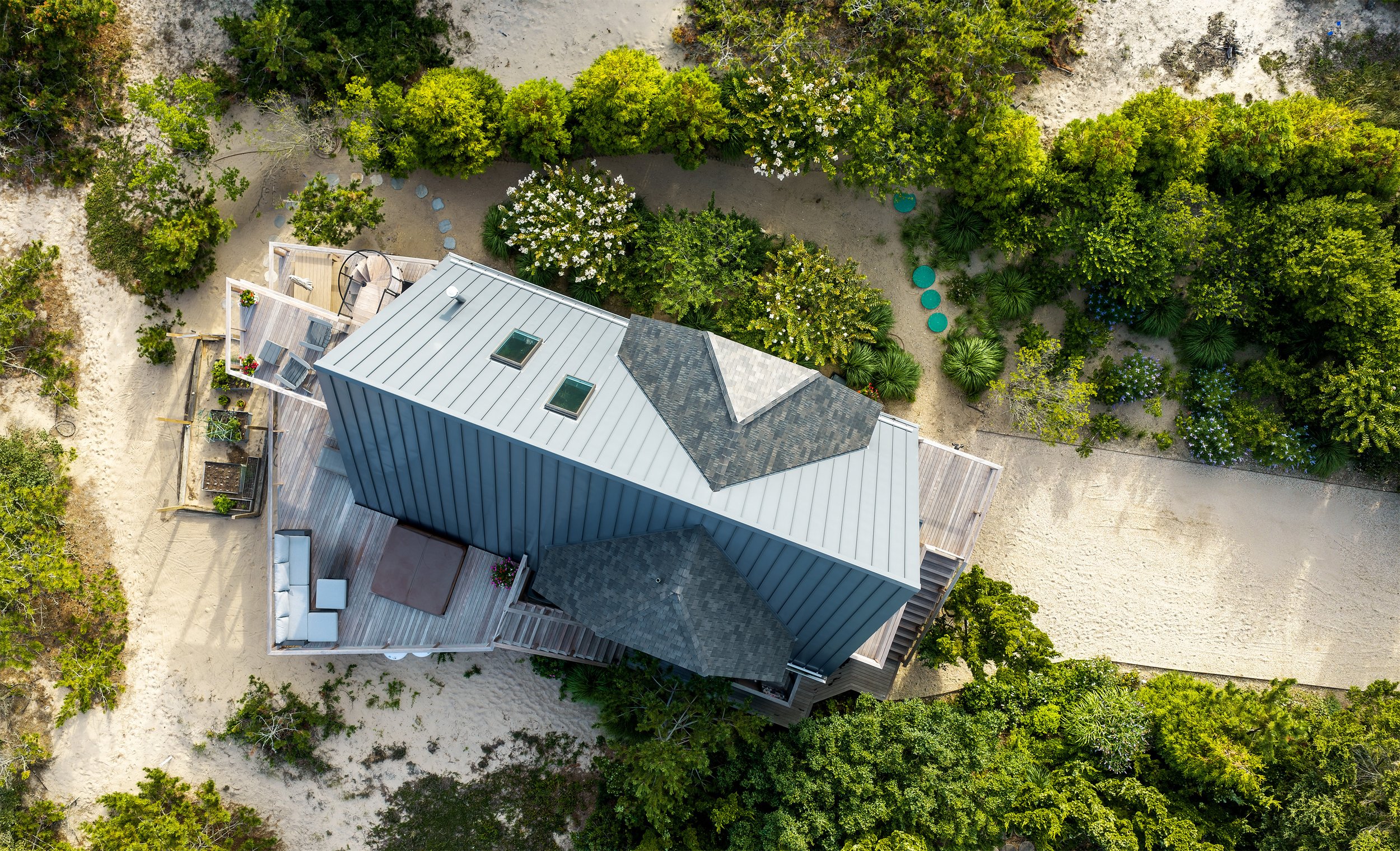
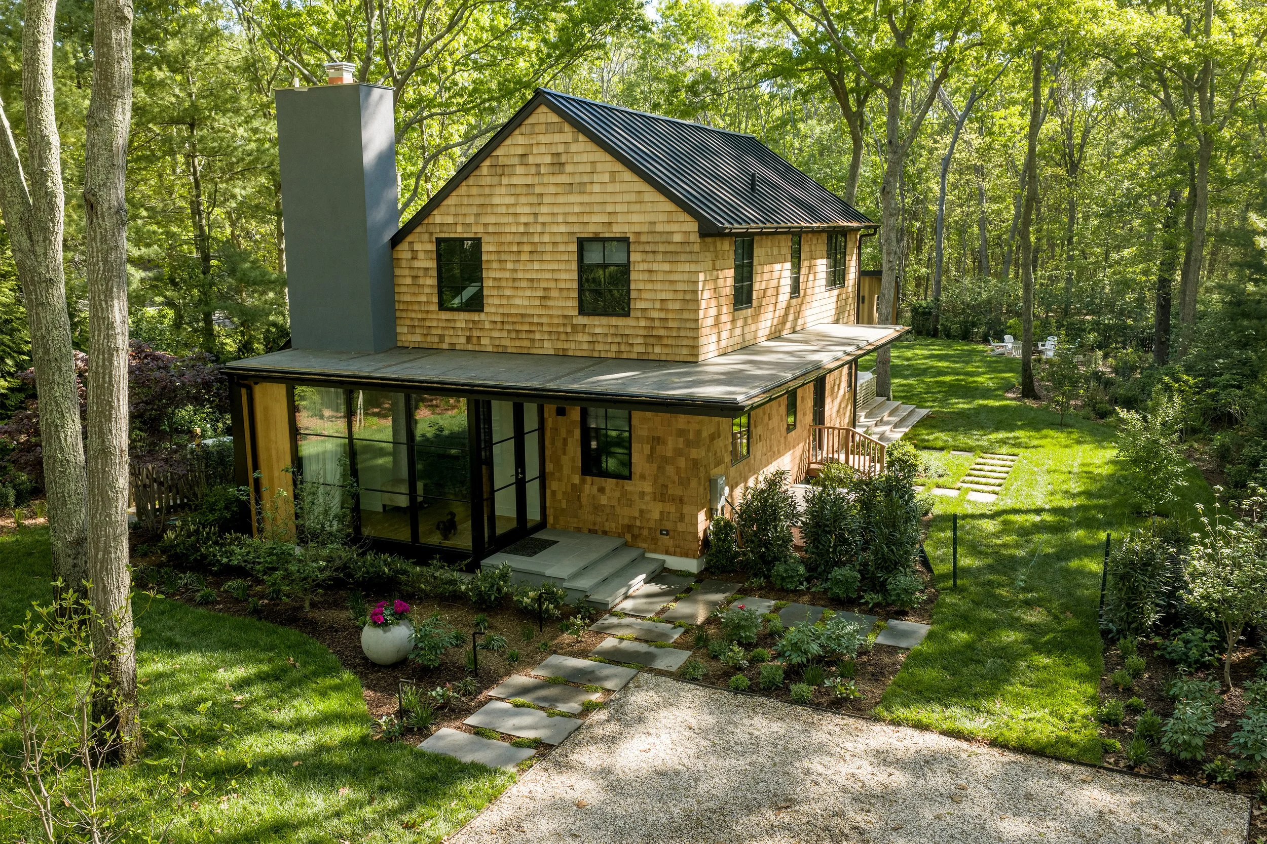
Show the whole property, not just the front door
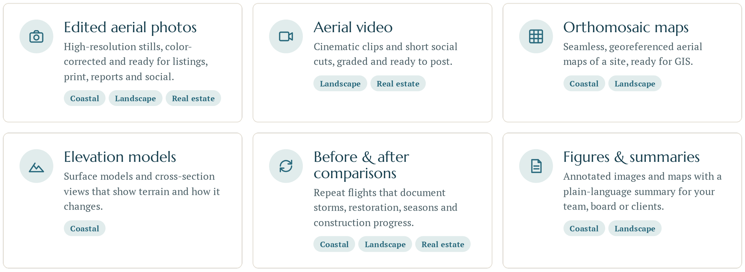
Edited aerial photos and video for listings, architects and builders, delivered ready for MLS, print and social.
Deliverables built for how you work
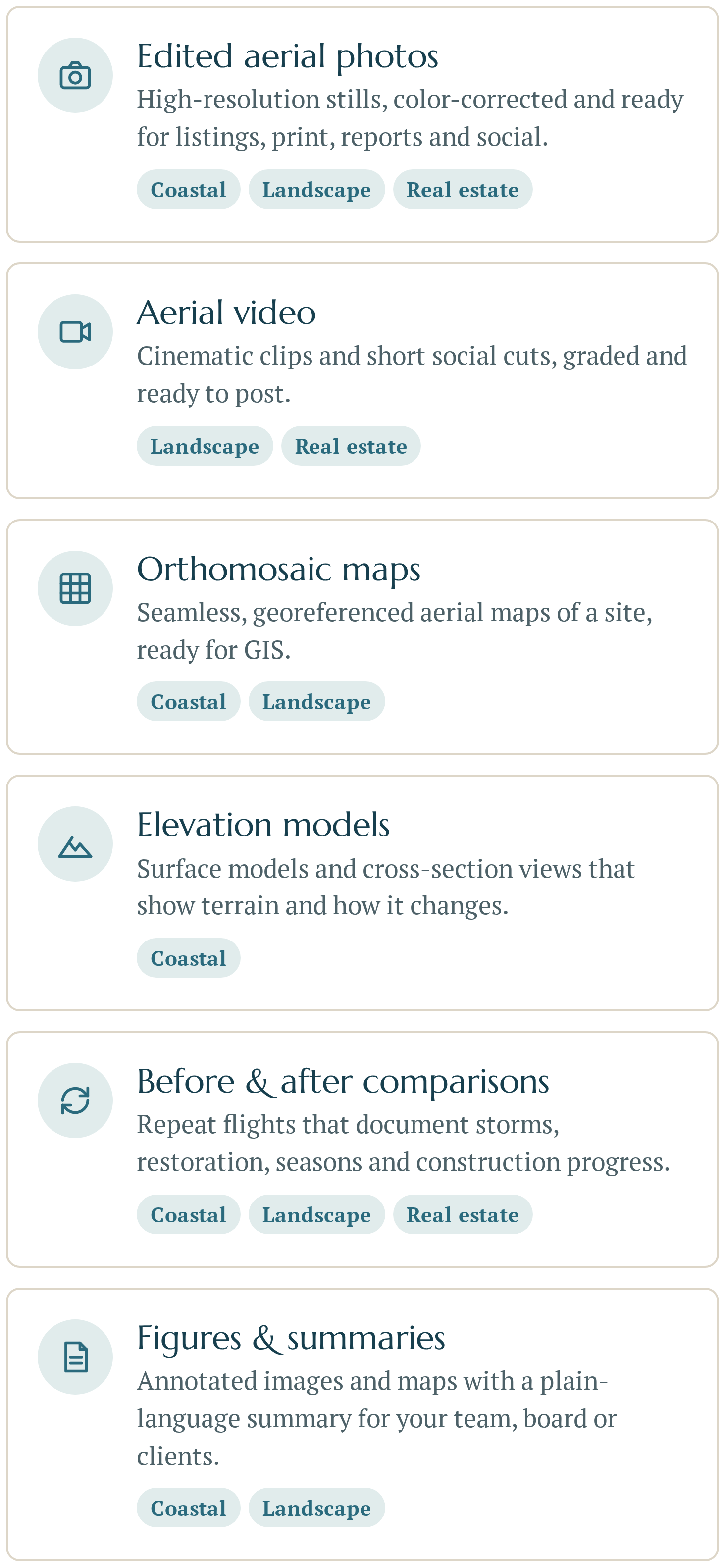
WHAT YOU RECEIVE
HOW IT WORKS
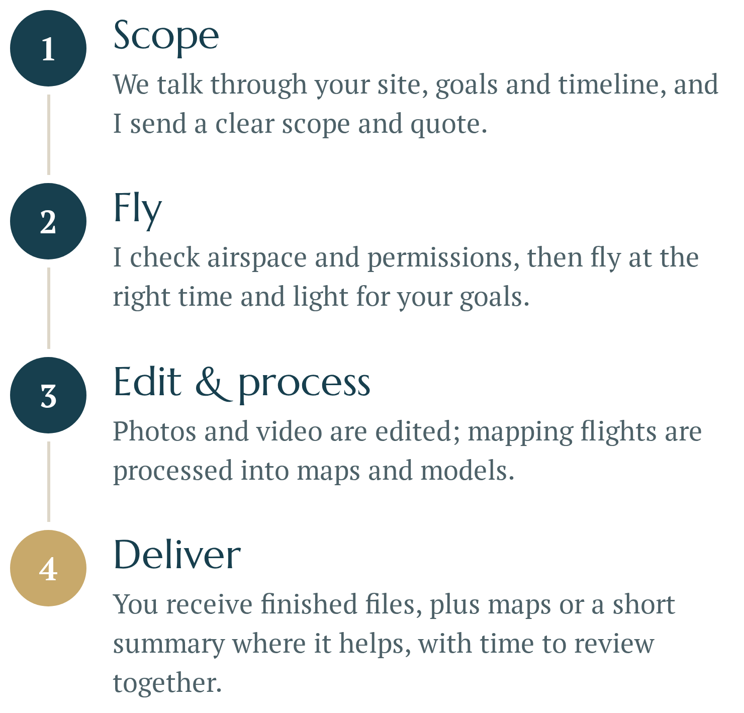
From first call to final files

WHO I WORK WITH
Scientific rigor, delivered in plain language
Before founding Gaia, I spent years as a field and wildlife scientist on Long Island's beaches and offshore. That background shapes how I plan flights, check data and explain results.