Imagery Collections
Aerial documentation of Long Island’s evolving coast to support shoreline monitoring, habitat assessment, and environmental mapping workflows.
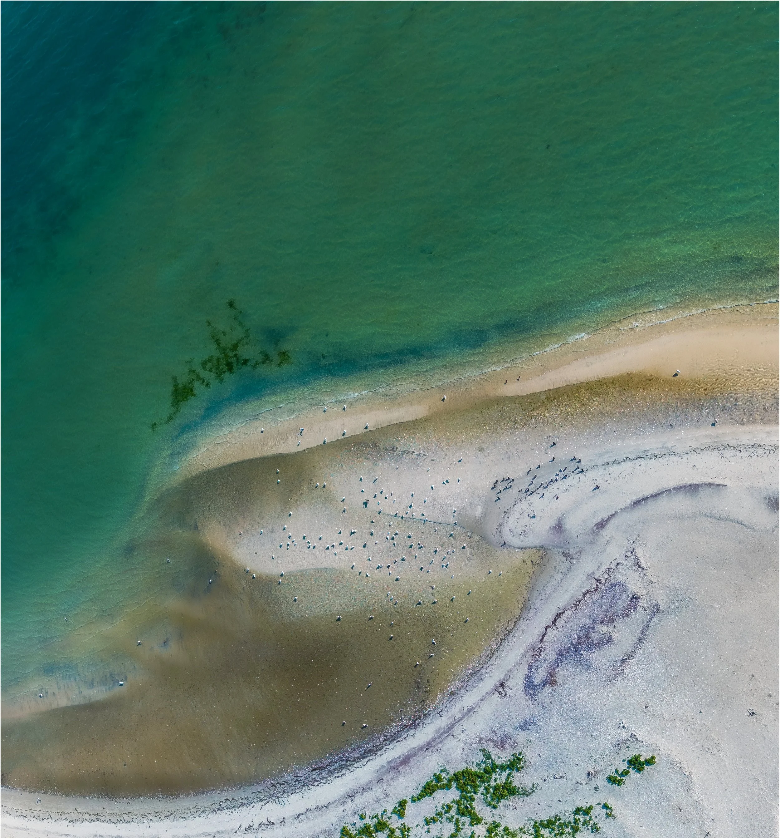
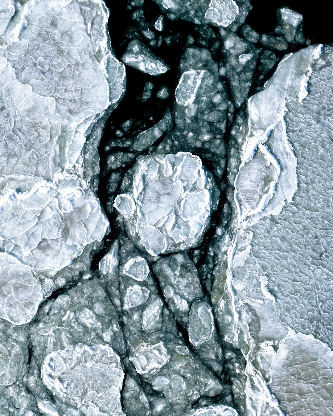
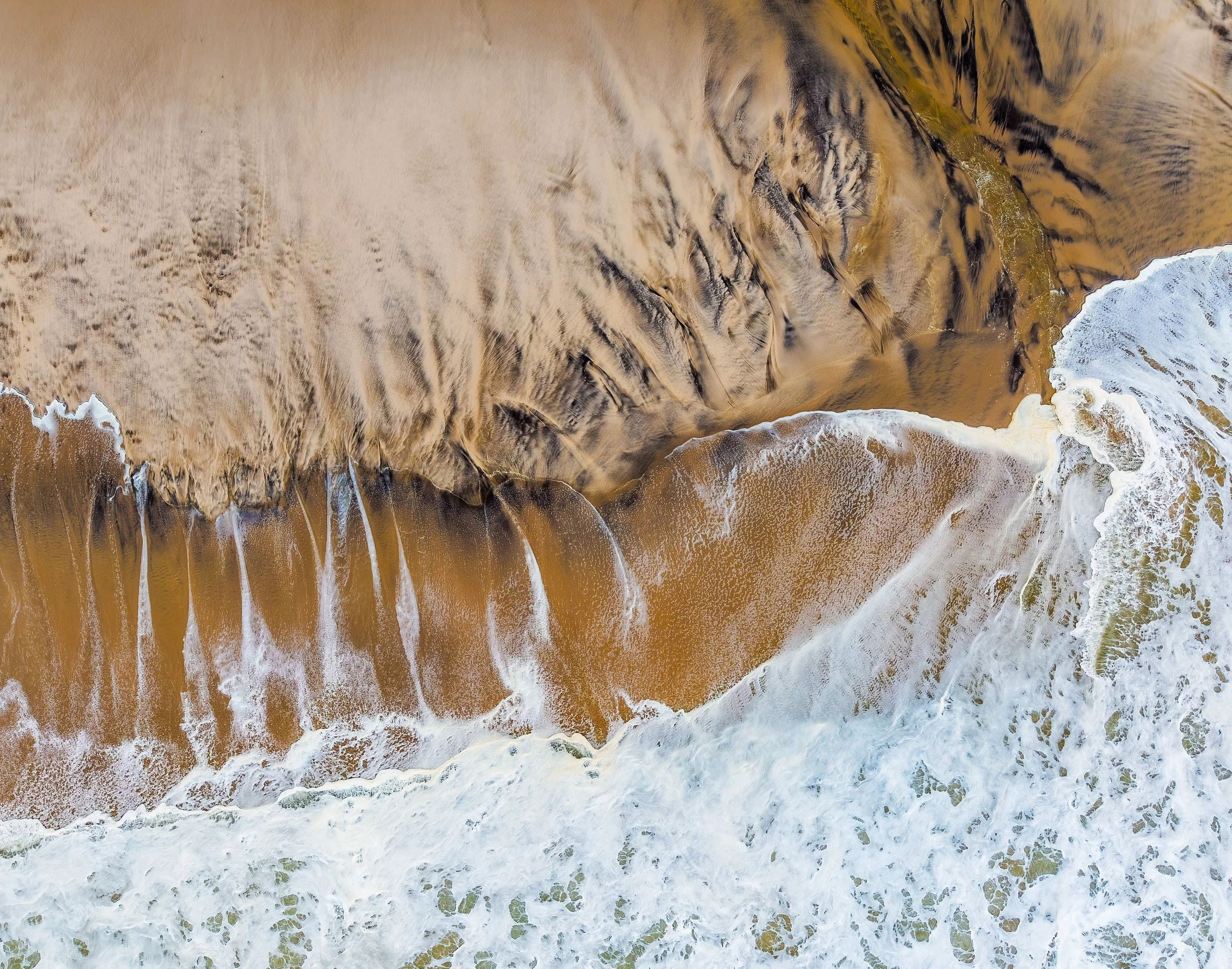
Gaia’s coastal imagery collections document Long Island’s shifting shorelines, tidal edges, seasonal patterns, and ecological transitions. These visual studies complement Gaia’s broader drone mapping and aerial documentation services for coastal, conservation, and working landscapes.
Observing Environmental Change from an Aerial Perspective

Why This Work Matters
These visual studies are designed to complement Gaia’s environmental mapping, geospatial workflows, and broader landscape documentation services. By pairing drone-based imagery with high-resolution spatial data, Gaia helps stakeholders see, understand, and communicate how coastal environments change over time.
This perspective supports resilience planning, habitat protection and restoration, and public engagement — turning complex coastal processes into clear visual stories that can inform action.