Drone Mapping and Aerial Imagery for Coastal, Conservation, and Working Landscapes
RTK-enabled aerial data, photogrammetric mapping, and documentation imagery supporting environmental monitoring, coastal resilience, and land management across Long Island, New York, and the Northeast.
RTK-enabled drone mapping, aerial imagery, and photogrammetric products that help organizations monitor, understand, and communicate landscape change.
Gaia Aerial Imagery combines conservation science with professional drone technology to deliver high-resolution aerial data for coastal resilience, environmental monitoring, and working landscapes across Long Island.
Landscape-Scale Insight for Environmental Stewardship
Drone Mapping Solutions
Helping organizations understand, monitor, and communicate landscape change through repeatable aerial imagery and spatial data.
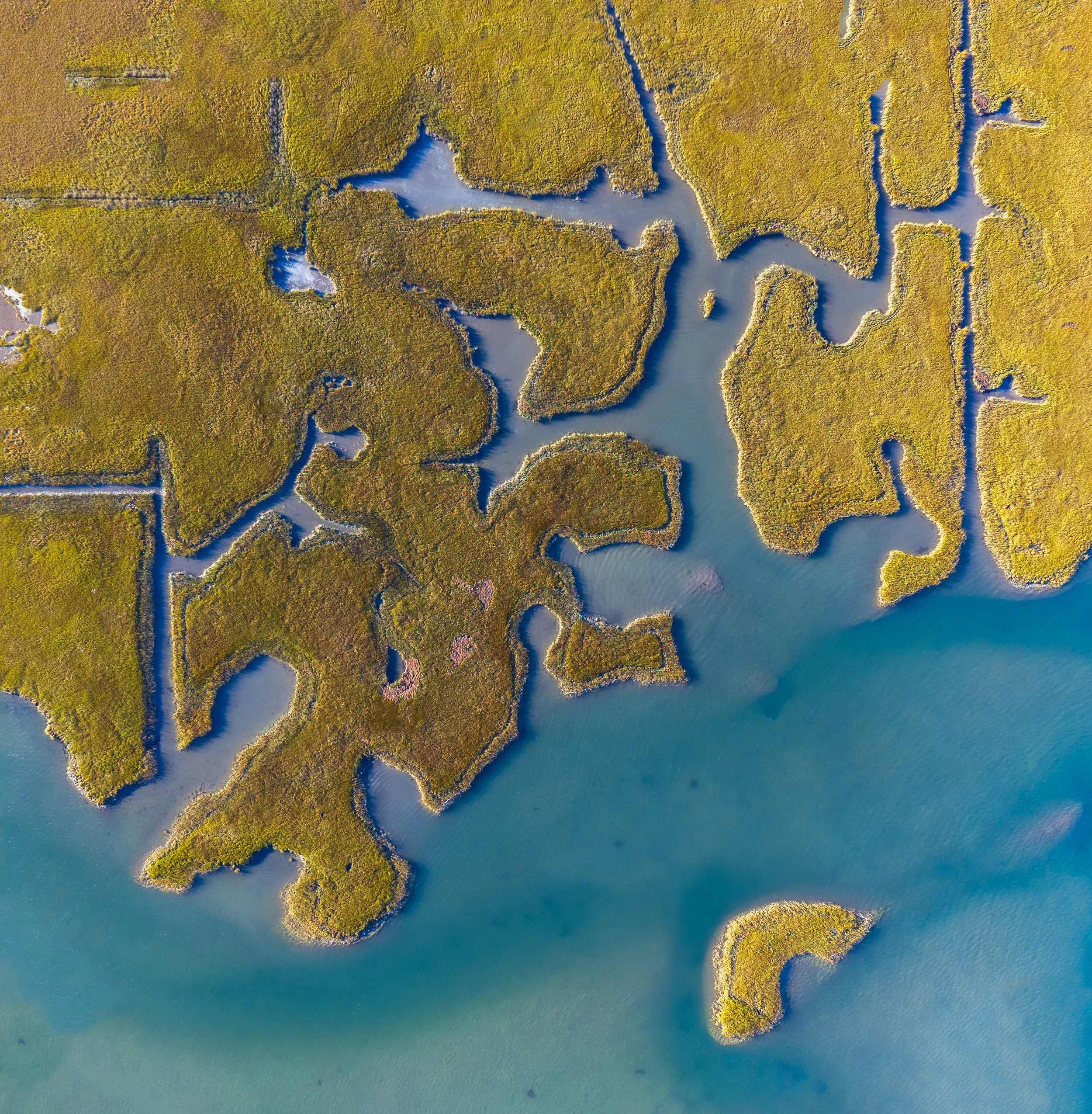
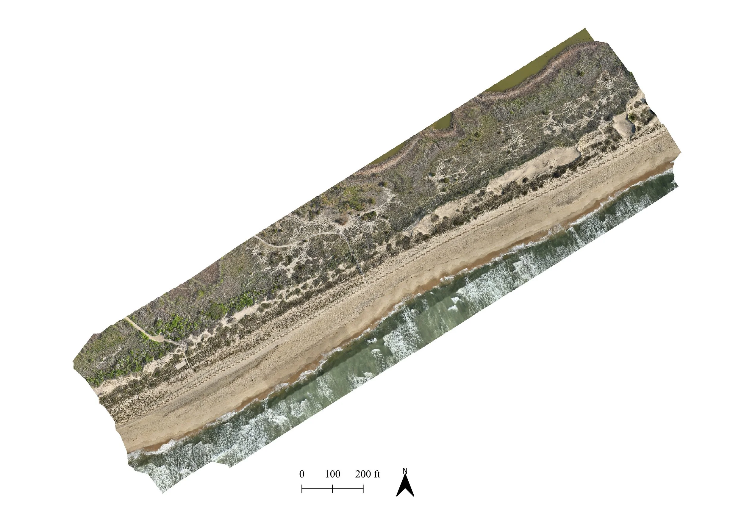
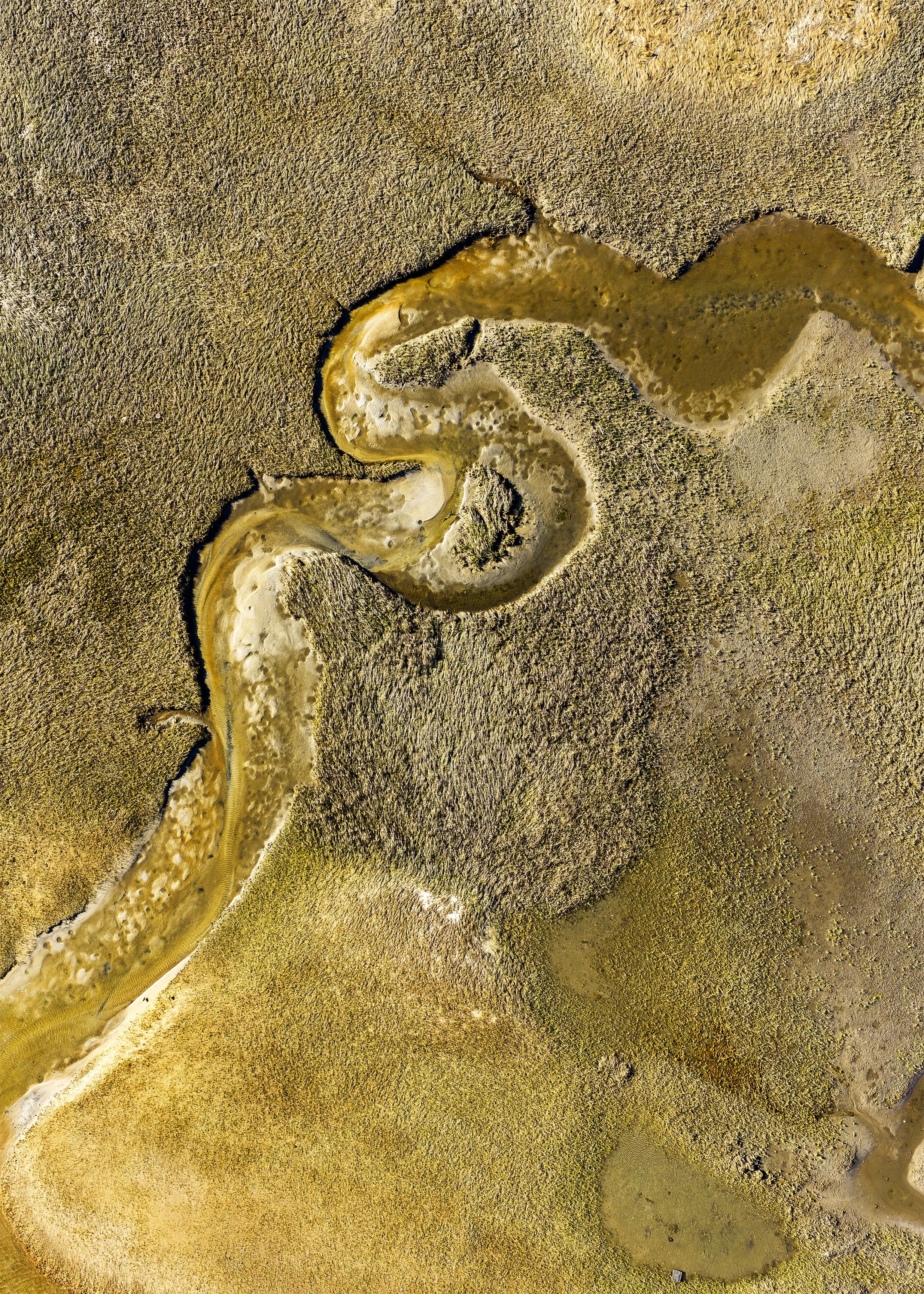
Environmental Monitoring & Coastal Mapping
Supporting conservation organizations, municipalities, engineers, land trusts, and environmental consultants with repeatable aerial mapping for:
Shoreline change
Habitat monitoring
Restoration tracking
Storm assessments
Grant and reporting visuals
Why it matters
Coastal and ecological landscapes are constantly changing. Repeatable drone mapping provides a landscape-scale perspective that helps document conditions, measure change over time, and communicate project outcomes for planning, restoration, and stewardship.
Working Landscapes
Helping farms, vineyards, nurseries, and landscape professionals document and showcase their properties through:
Aerial photography
Orthomosaic mapping
Seasonal documentation
Project progress
Marketing imagery
Why it matters
Working landscapes evolve throughout the year. Drone imagery helps capture seasonal change, document completed work, visualize property layouts, and create compelling visuals for clients, stakeholders, and marketing.
Most drone operators bring a camera. Gaia brings context, science, and spatial data.
The Gaia Advantage
Gaia combines conservation science, geospatial technology, and professional drone operations to produce aerial imagery that goes beyond documentation. Every project is approached with an understanding of the landscape, the questions being asked, and how the resulting data will support planning, monitoring, restoration, and communication.
Founded by Anna Soccorsi—an FAA Part 107 Certified Remote Pilot with an M.A. in Conservation Ecology from Columbia University—Gaia bridges environmental expertise with modern drone mapping to deliver imagery and spatial data that are both visually compelling and practically useful.
Professional Mapping Capabilities
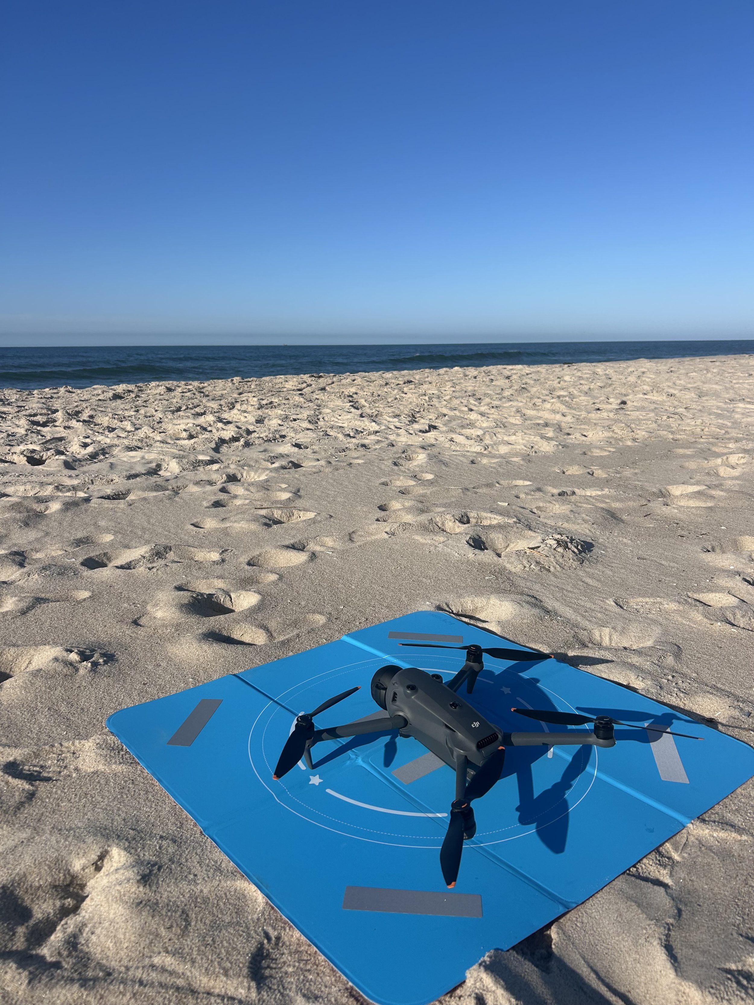
✓ FAA Part 107 Certified UAS Operations
✓ RTK-enabled drone mapping with the DJI Matrice 4E
✓ High-resolution aerial photography with the DJI Mavic 4 Pro
✓ Orthomosaics, digital elevation models, terrain visualization, and GIS-ready mapping products
✓ Deliverables designed to integrate with GIS, CAD, engineering, and planning workflows
✓ Collaborative aerial data acquisition for environmental consultants, engineers, municipalities, land trusts, and conservation organizations
Ready to See Your Landscape From a New Perspective?
Whether you're monitoring coastal change along Long Island's shorelines, documenting a wetland restoration site, showcasing a North Fork vineyard, mapping a South Fork farm, or capturing a landscape project from above, Gaia can create aerial visuals tailored to your goals.
