
Aerial Imagery for Horseshoe Crab Monitoring on Long Island
This spring, I had the opportunity to document horseshoe crab monitoring efforts with Peconic Baykeeper, a nonprofit organization working to protect and restore the waters of the Peconic and South Shore estuaries.
Each spring, horseshoe crabs return to Long Island’s shorelines to spawn, often gathering along sandy beaches and protected bays during evening high tides. These ancient marine animals play an important role in coastal ecosystems, and monitoring their activity helps local organizations better understand population trends, spawning habitat, and the health of our shorelines.
For this project, Gaia Aerial Imagery provided aerial photography and video to help capture the monitoring work from a broader perspective.
Capturing Fieldwork from Above
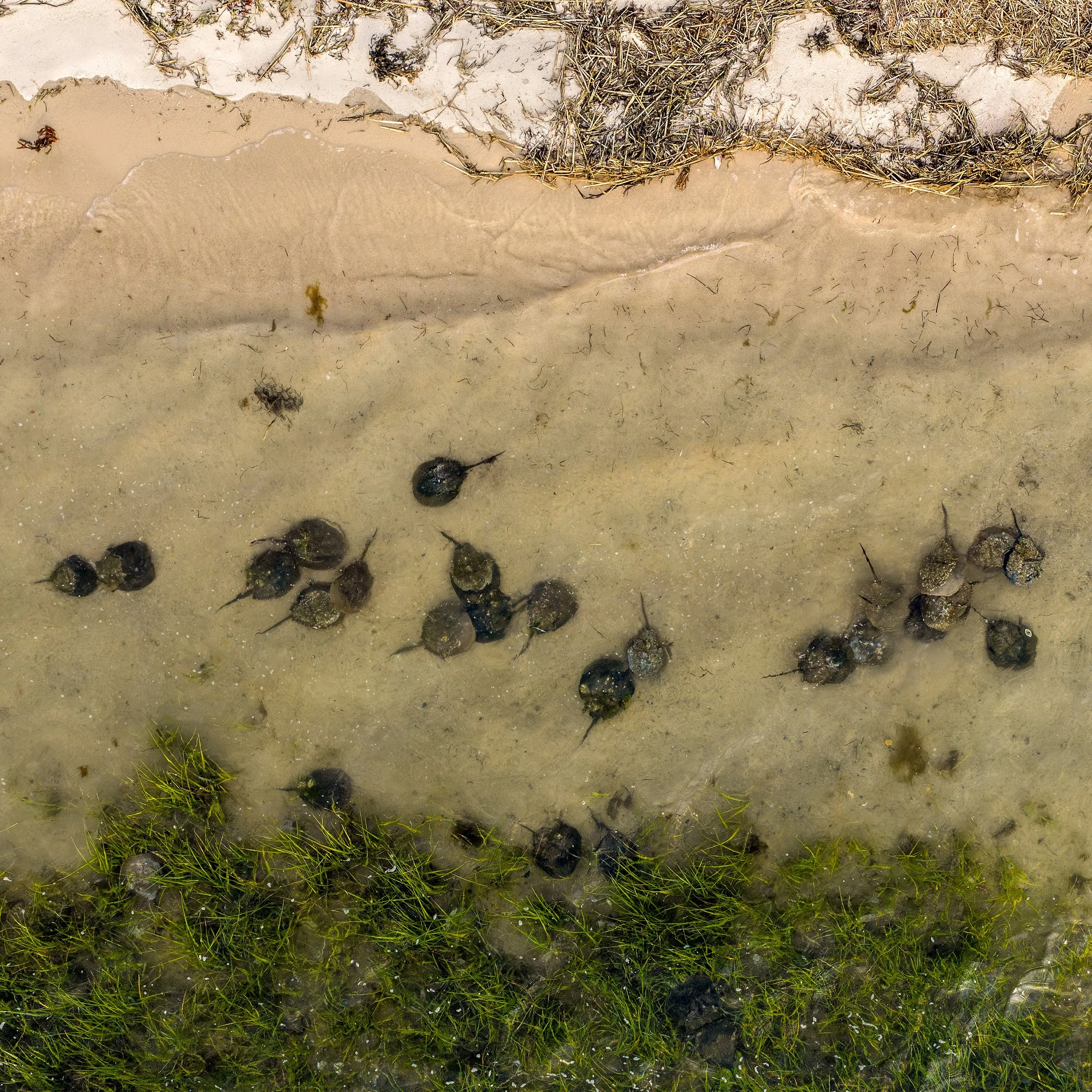
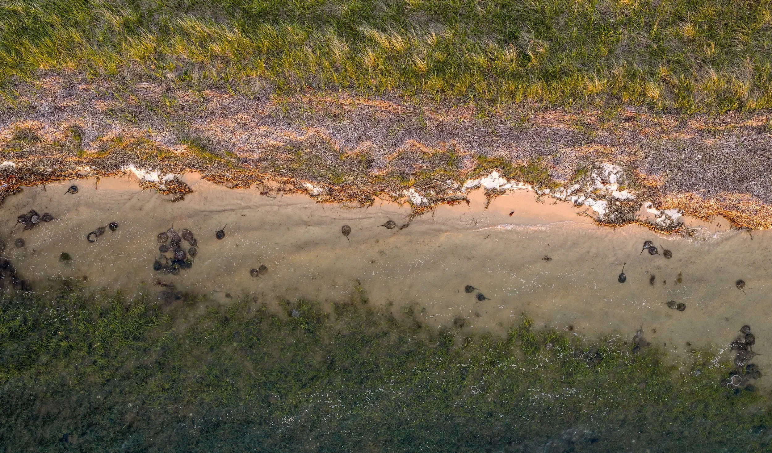
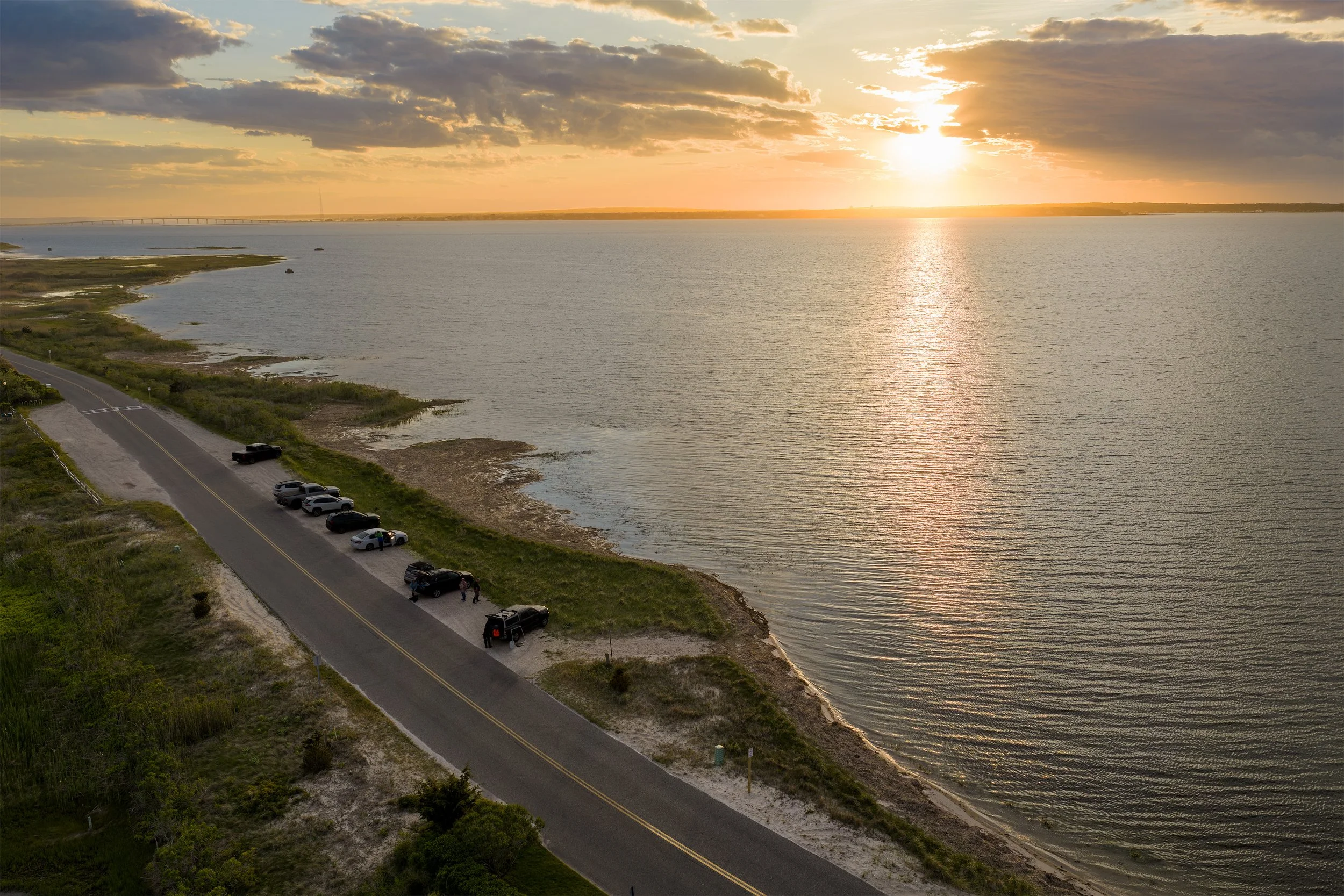
Horseshoe crab monitoring is detailed, hands-on work. Volunteers and researchers walk the shoreline, record observations, count crabs, and assist with tagging when needed. Drone imagery adds valuable context by showing the surrounding landscape, shoreline conditions, tidal setting, and the distribution of crabs along the beach. From above, viewers can better understand how the monitoring site connects to the larger coastal environment.
The goal was not to replace field-based data collection, but to create visual documentation that supports outreach, education, and long-term communication.
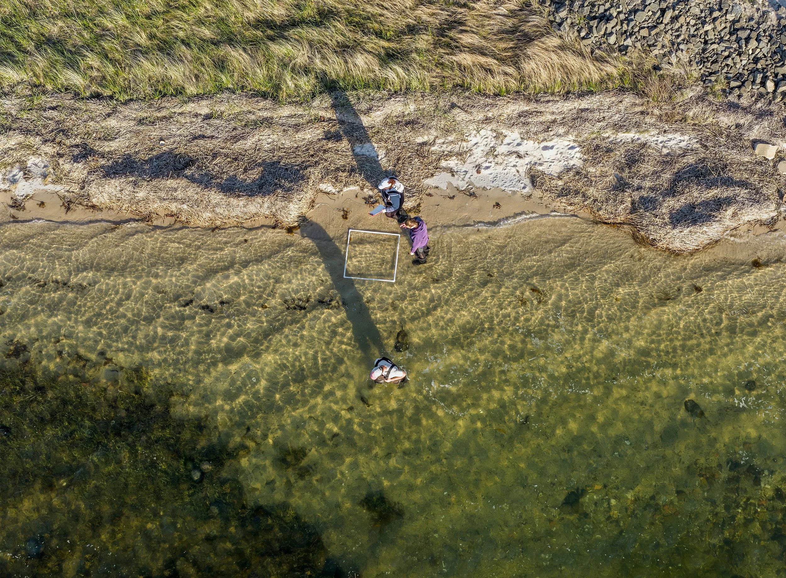
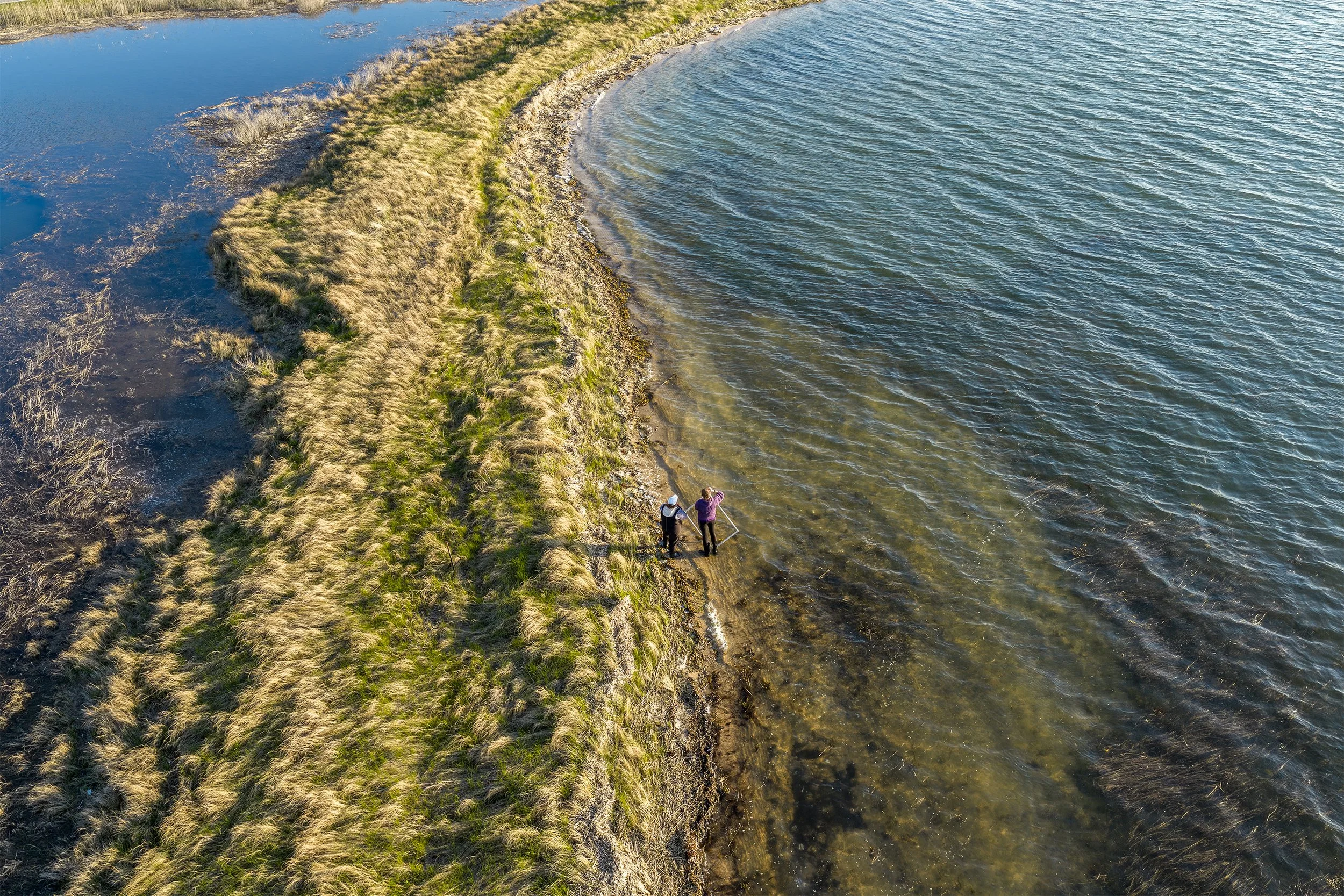
Peconic Baykeeper surveyors document horseshoe crab activity along a Southampton shoreline during spring monitoring efforts.
Visual Storytelling for Conservation
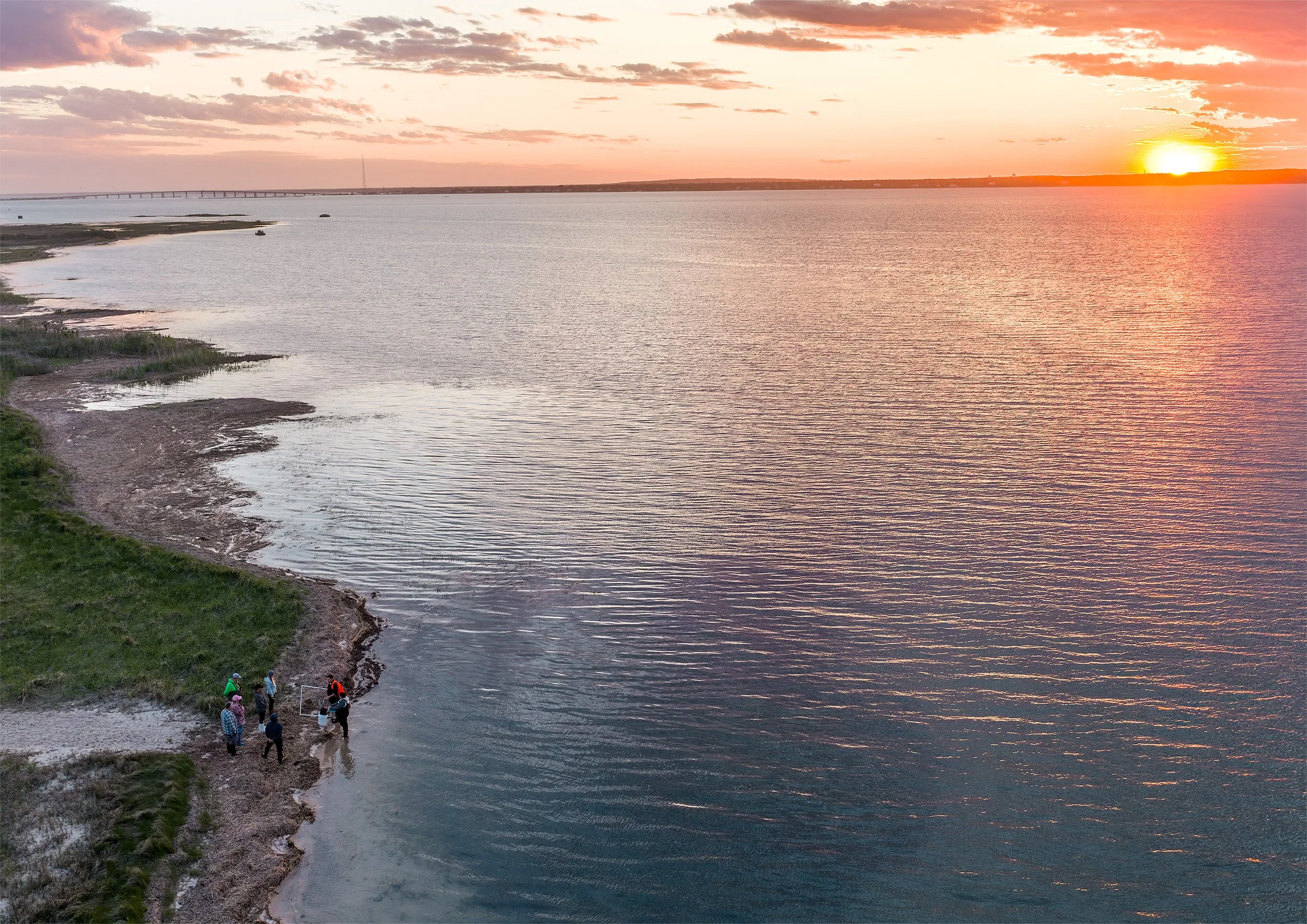
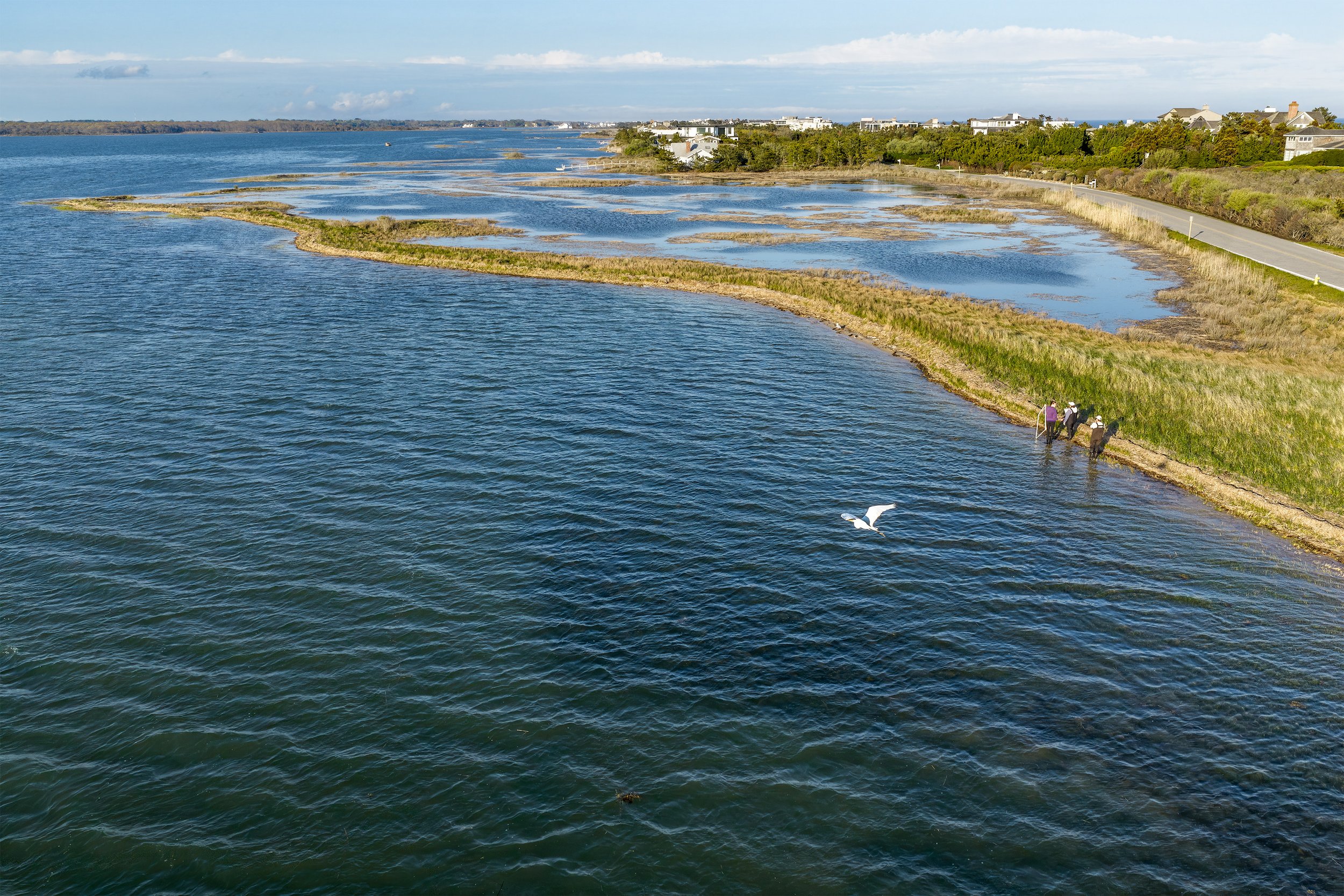
The imagery included a mix of overhead views, wider habitat-context shots, and field-monitoring perspectives. Together, these visuals help show both the ecological importance of the site and the people working to protect it. For organizations like Peconic Baykeeper, strong imagery can make fieldwork more accessible to the public. Aerial photos and video help communicate the scale of a spawning event, the relationship between horseshoe crabs and shoreline habitat, and the importance of continued monitoring.
Supporting Local Environmental Work
One of the goals of Gaia Aerial Imagery is to help conservation organizations, land managers, and coastal groups document meaningful projects across Long Island. Whether the work involves habitat restoration, shoreline monitoring, water quality, or public outreach, aerial imagery can help create a clear visual record and tell the story of a place. I’m grateful to have supported Peconic Baykeeper’s horseshoe crab monitoring efforts and to help share this important work from a new perspective.