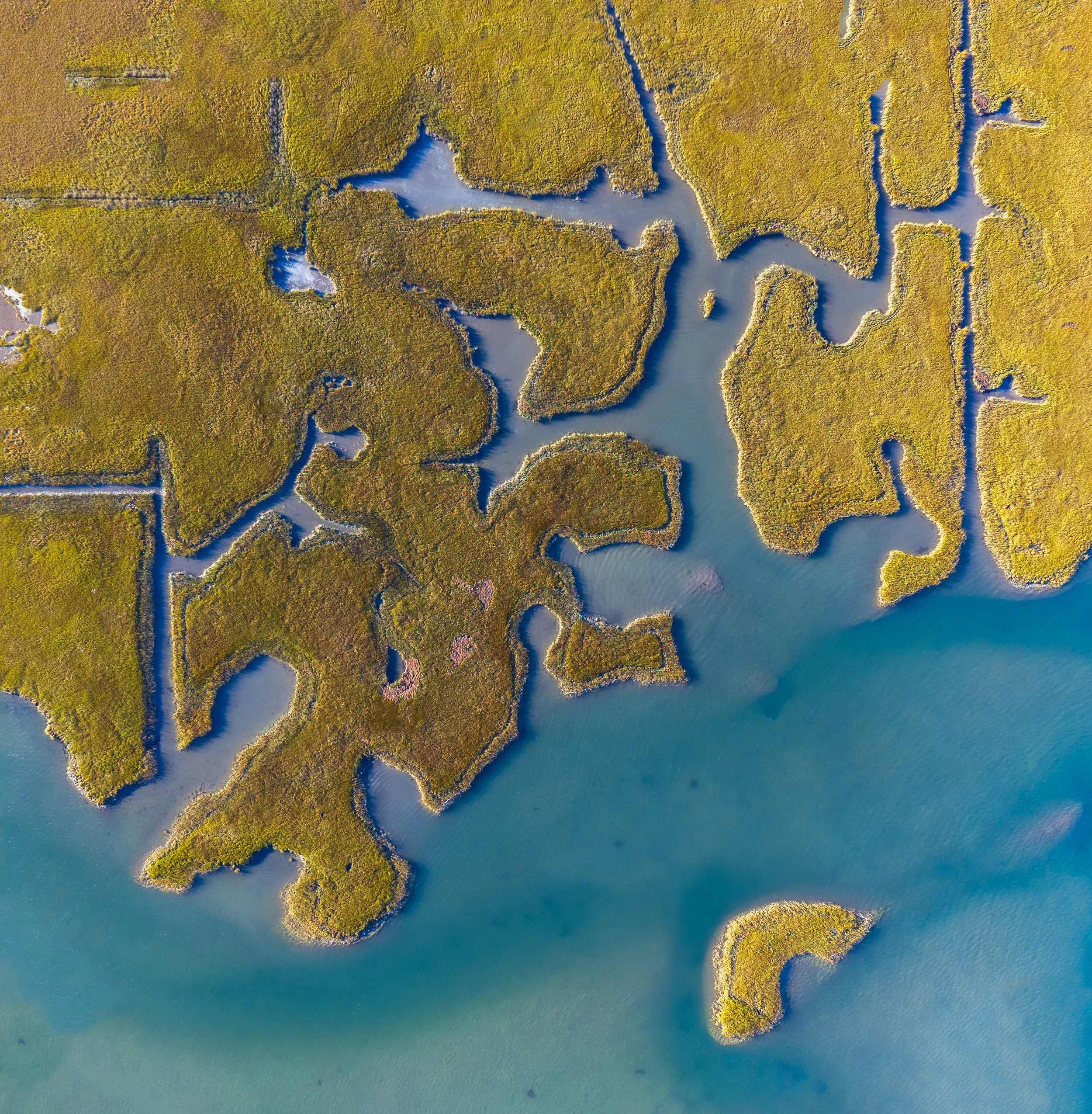
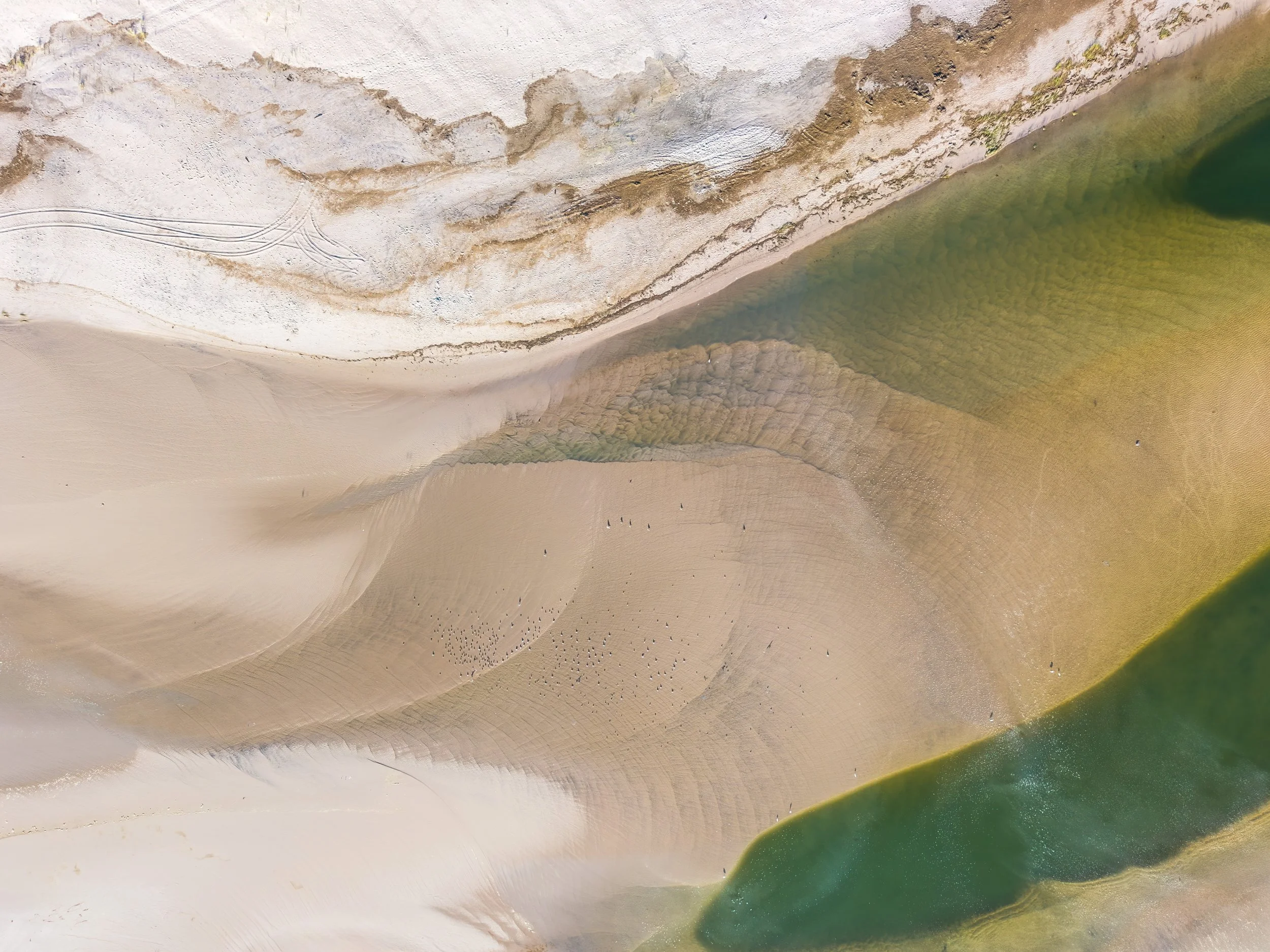
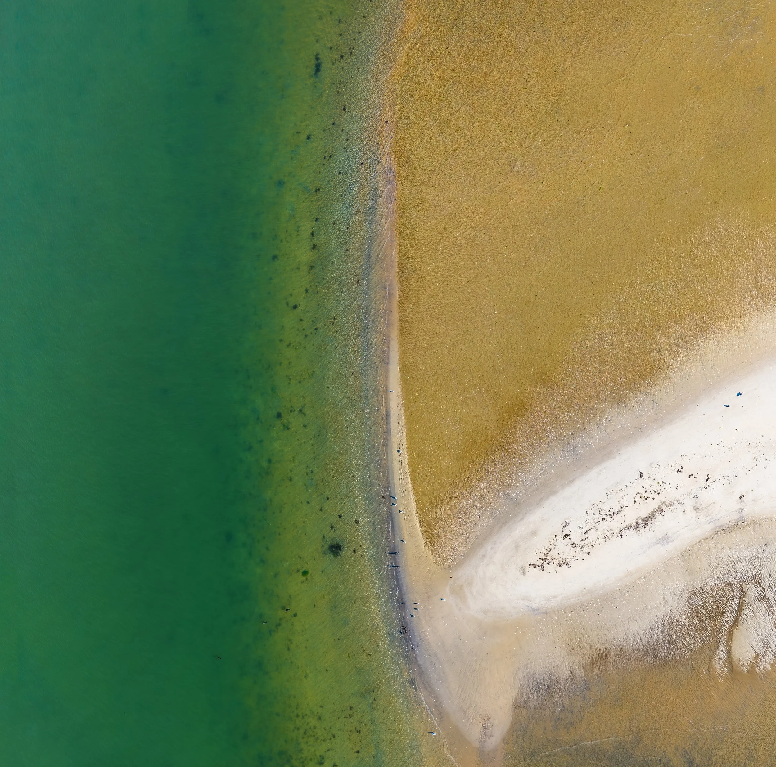
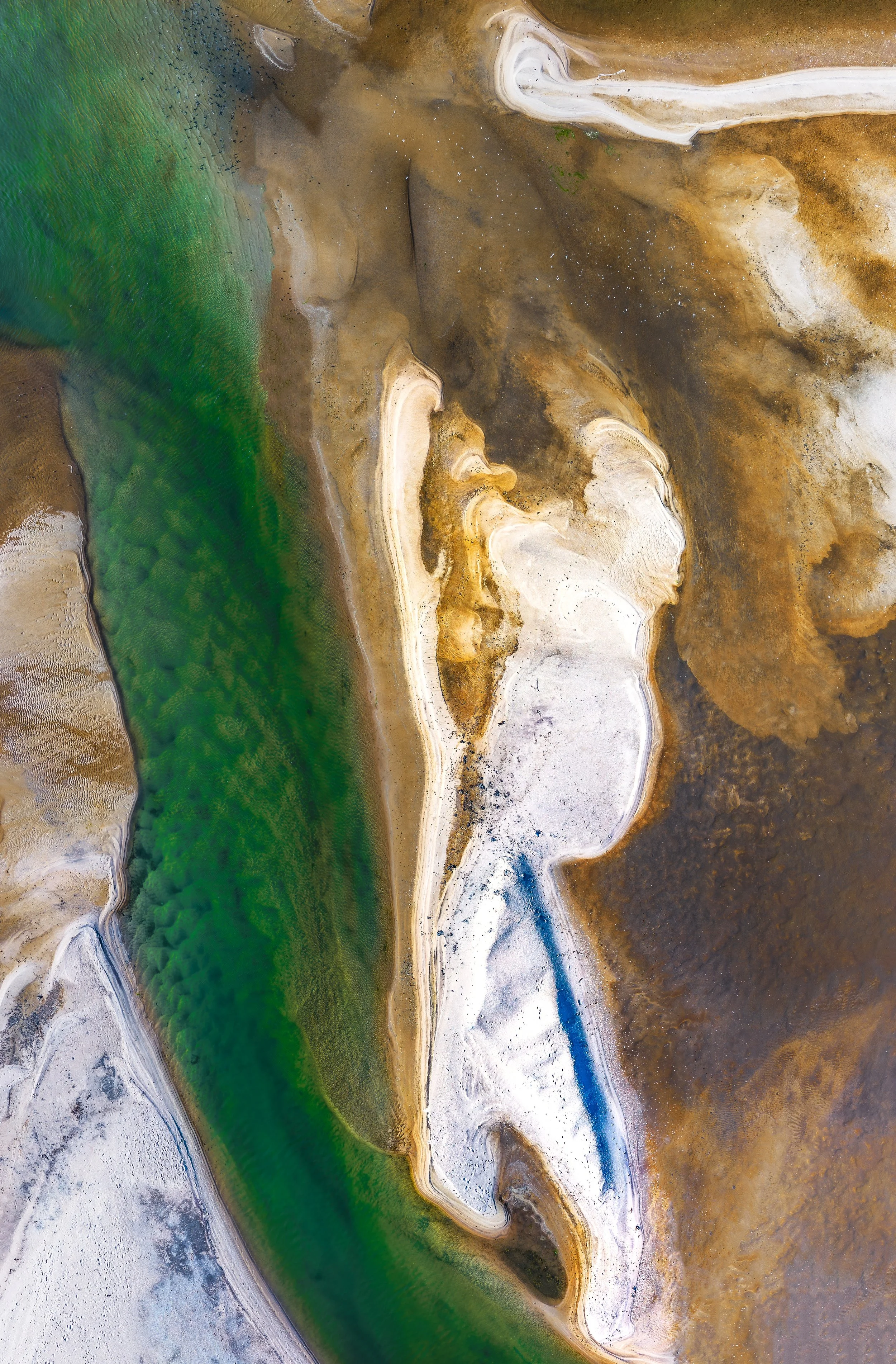
Of Salt and Sand
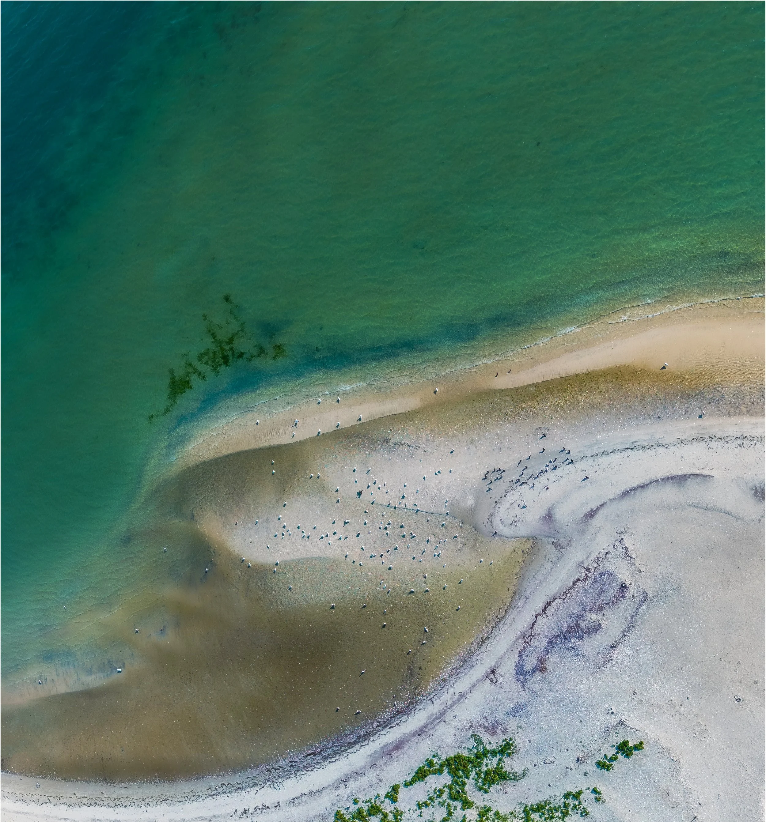
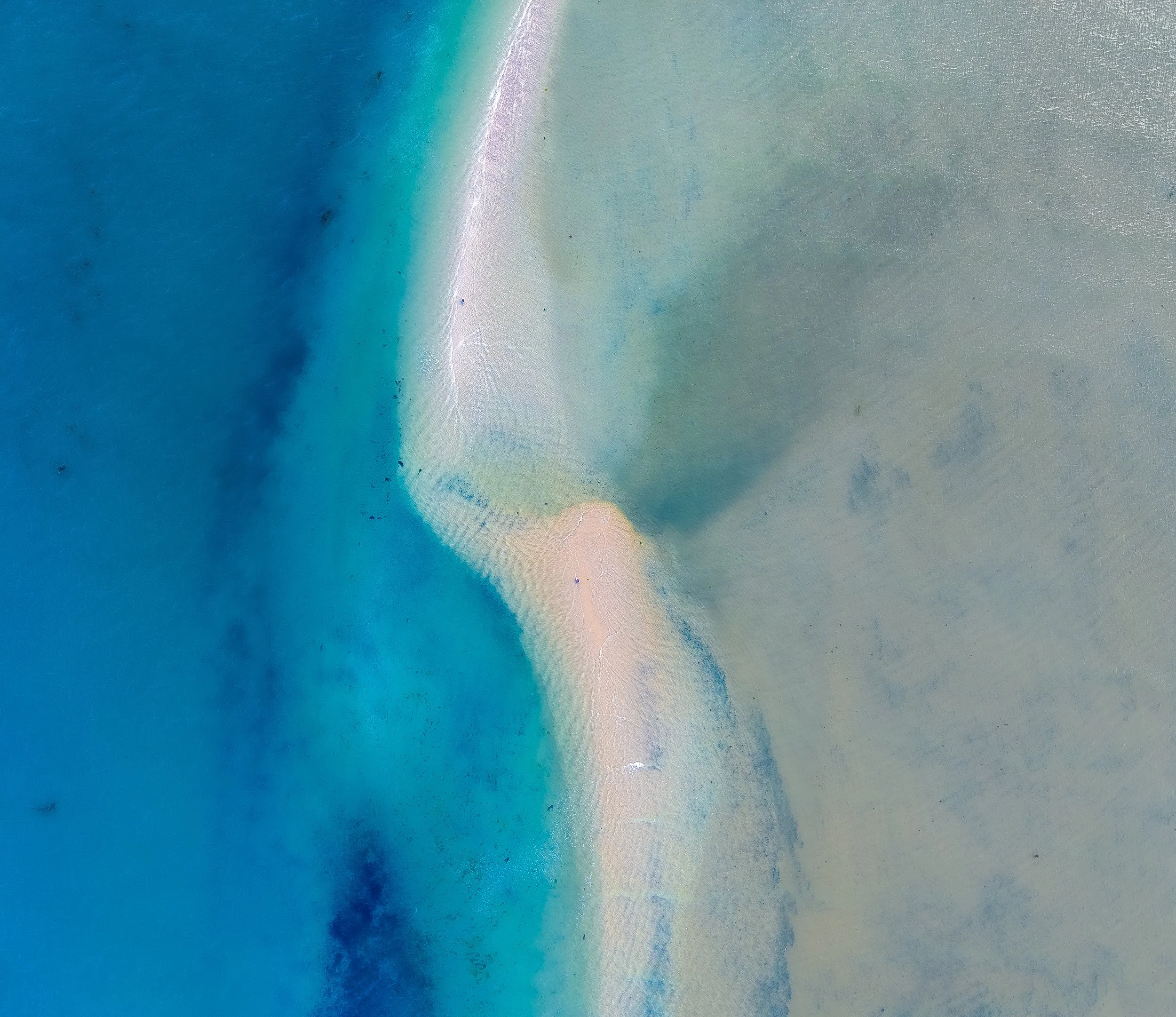
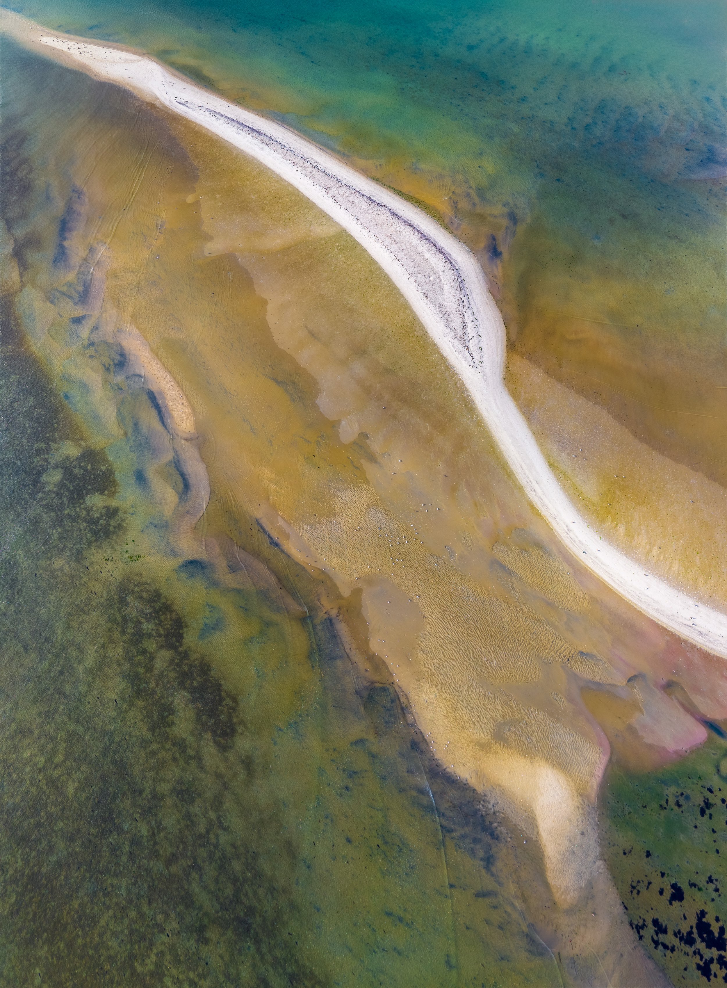
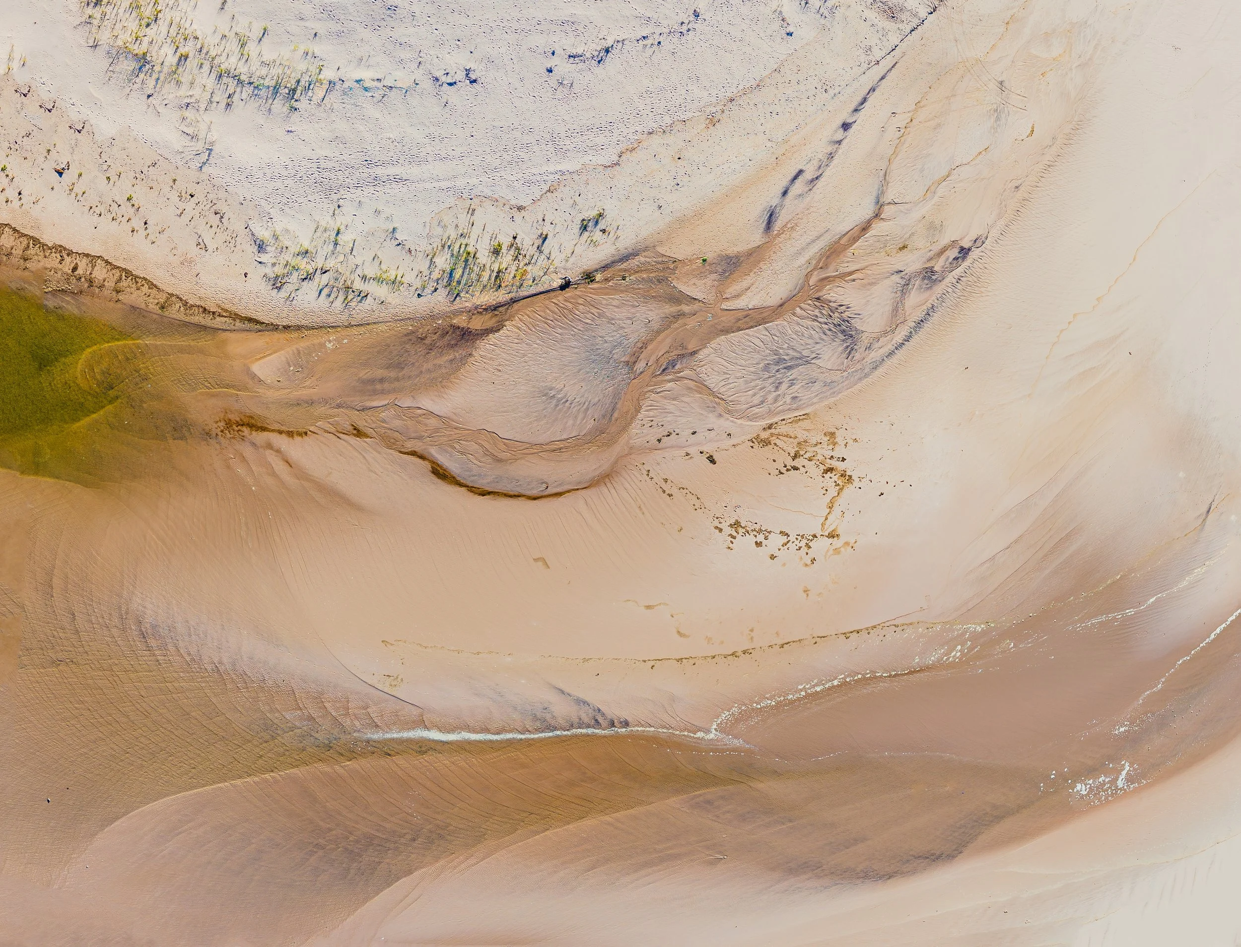
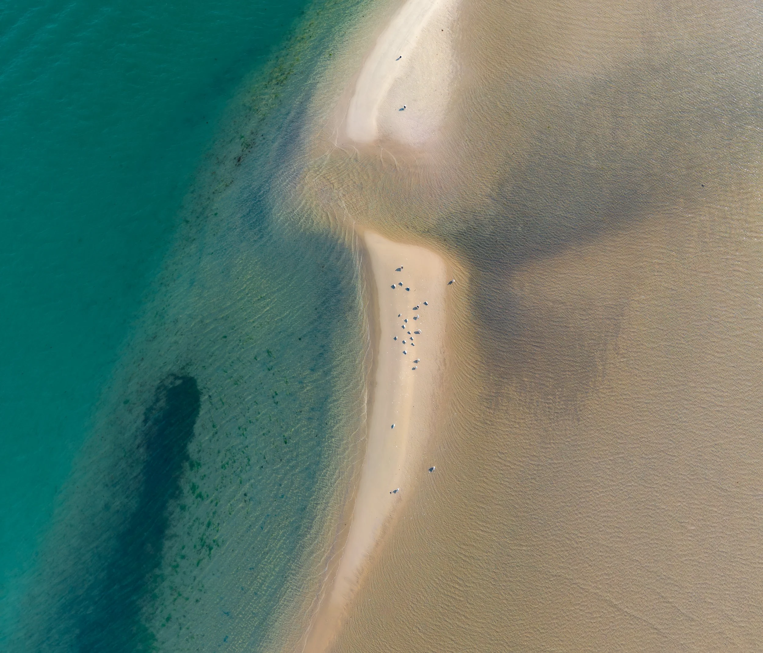
Barrier island coastlines are defined by constant movement—reshaped by waves, storms, and sediment transport. This collection documents the shifting structure of Long Island’s shorelines through repeated aerial observation.
These imagery datasets support shoreline change detection, coastal erosion monitoring, and sediment analysis within broader environmental mapping workflows. By capturing spatial patterns and surface texture at high resolution, they provide visual context for understanding coastal vulnerability.