Environmental Monitoring & Coastal Mapping
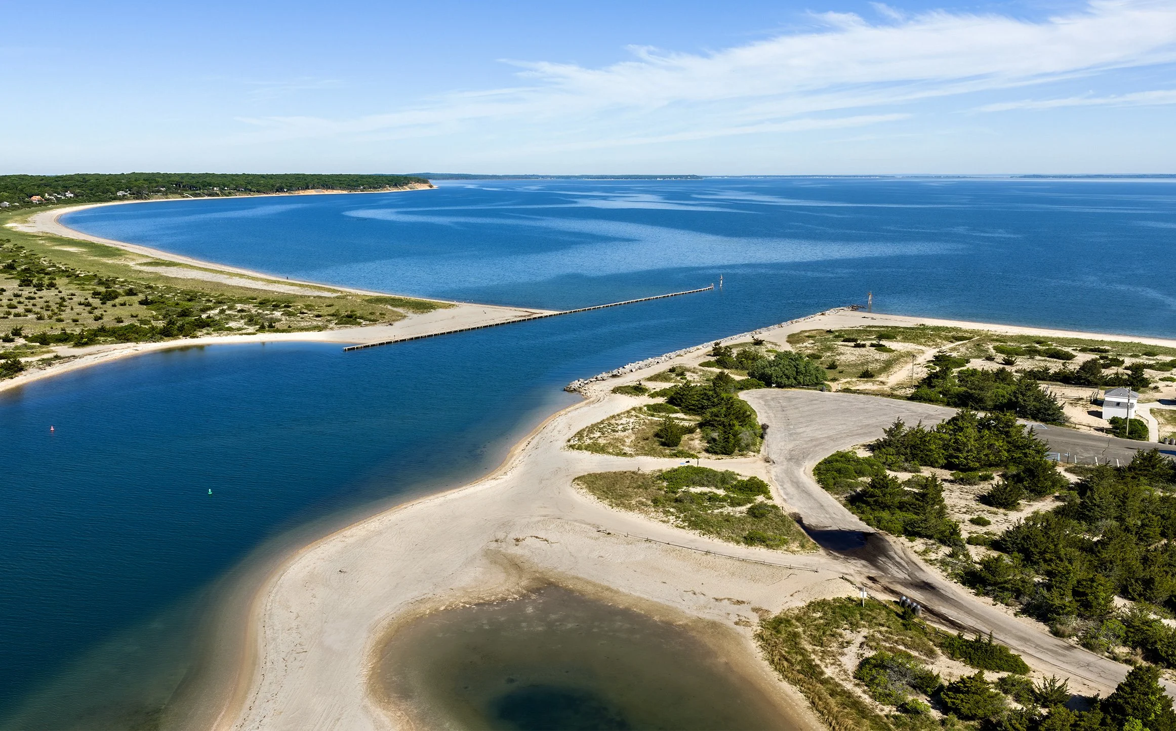
Long Island's landscapes are changing — shorelines shift with every storm season, forest health threats spread, and the species that depend on these habitats respond in ways that can be hard to see from the ground. Gaia Aerial Imagery helps conservation organizations, land managers, watershed groups, and municipalities document that change with structured drone surveys, high-resolution mapping, and imagery built for real decision-making.
This isn't just aerial photography. Every flight is designed around a monitoring question: Is this dune growing or eroding? Where is canopy stress appearing? How is this habitat being used? The deliverables — orthomosaic maps, elevation models, annotated site maps, geotagged photo sets, and documentary imagery — are made to be measured, compared, and repeated over time.
-
Structured grid flights processed into georeferenced orthomosaics and digital elevation models, with contour mapping and site annotation. Repeat surveys quantify sediment gain or loss, dune change, and erosion — the kind of data that supports grant applications, storm-impact reports, and long-term shoreline management plans.
-
High-resolution canopy imagery to document visible patterns of discoloration, thinning, or dieback, helping land managers prioritize where to send field crews. Aerial screening doesn't replace on-the-ground diagnosis — it narrows the search area and creates a visual baseline for tracking change season to season.
-
Aerial photo and video coverage of monitoring events, habitat restoration, and stewardship work — imagery that shows the landscape context of a project and helps organizations communicate their work to boards, funders, partners, and the public.
What the Service Includes
Every project is adapted to the site. Open beaches, dunes, and marshes lend themselves to full photogrammetric mapping; dense forest canopy sometimes calls for geotagged photo review instead of a forced orthomosaic. Part of the service is knowing which product will actually hold up — and being transparent about what aerial imagery can and cannot tell you.
Case Studies
Coastal Monitoring at Flying Point Beach
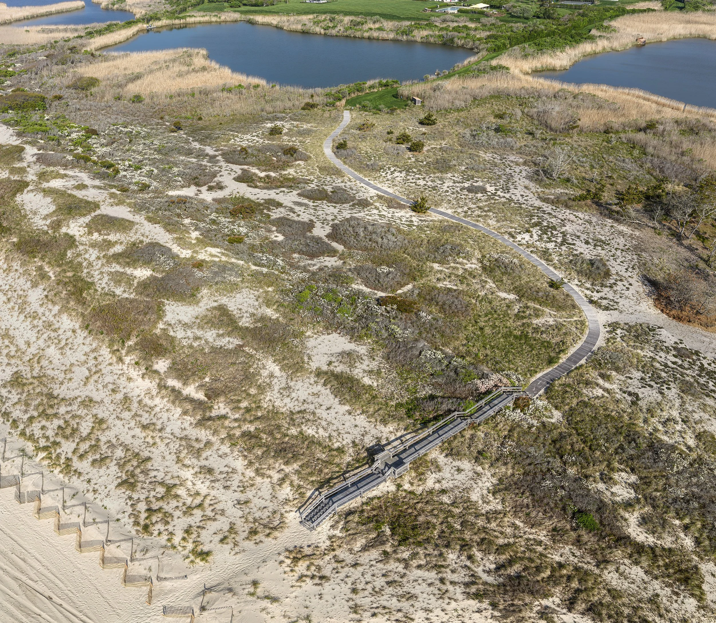
A complete photo-to-map workflow: hundreds of overlapping images flown in a structured grid, stitched into a seamless orthomosaic, then processed into a digital elevation model capturing the frontal dune system from the beach face to crests over 30 feet above sea level. The final annotated map marks the pedestrian pathway, sand fencing, and dune features being tracked for change — a repeatable baseline for measuring erosion and dune recovery year over year.
Beech Leaf Disease Canopy Screening
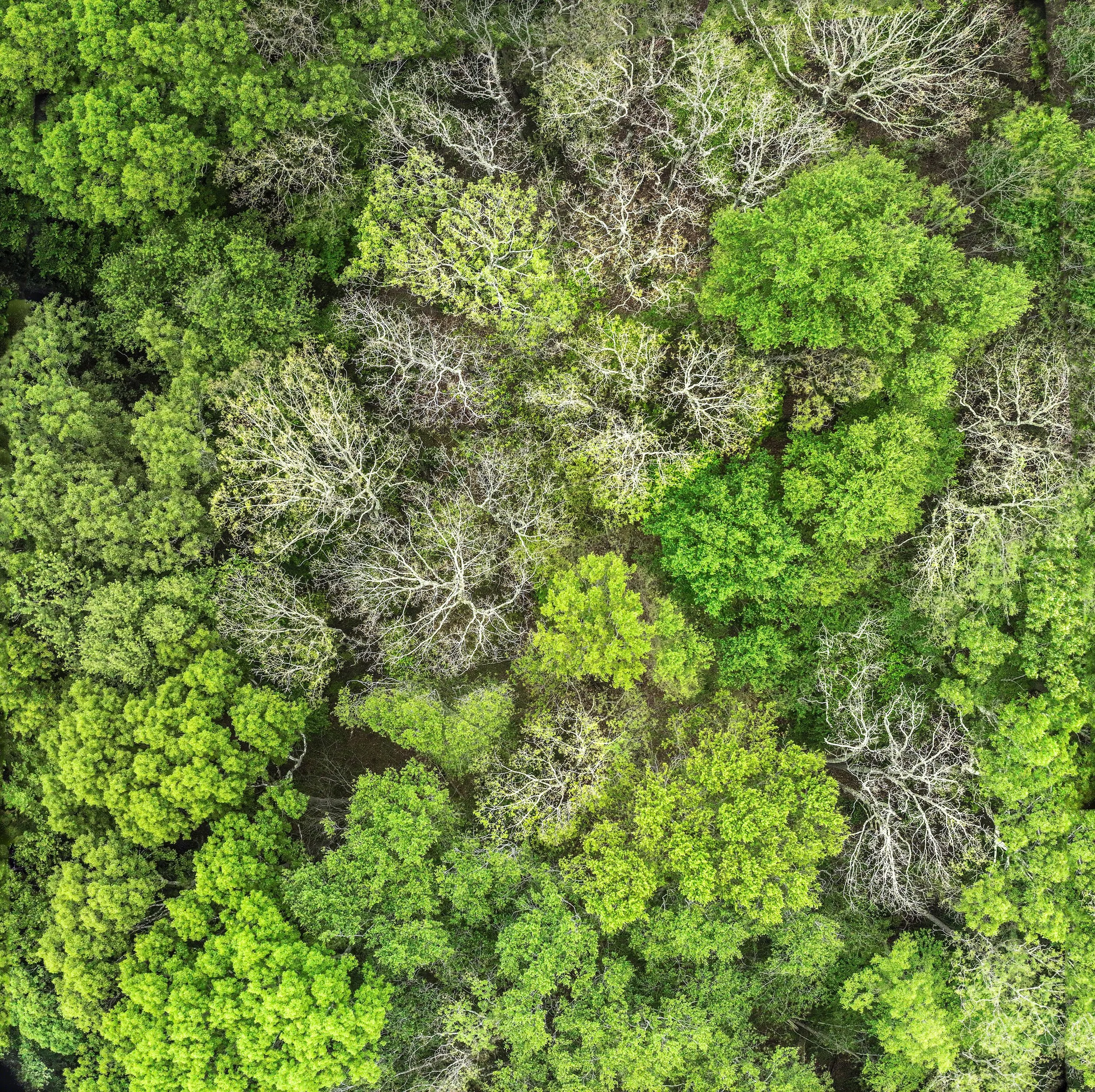
Beech leaf disease is an emerging threat to American beech across the Northeast, and it's difficult to assess across large wooded preserves from the ground. For this project, high-resolution aerial photography was used to screen forest canopy conditions — identifying areas of visible thinning and dieback that warranted closer field inspection. When dense canopy made a reliable orthomosaic impossible, the workflow was adapted: geotagged photos, a photo reference map, a canopy-concern screening map, and photo-level observations gave land managers a transparent, usable product and a baseline for future comparison.
Horseshoe Crab Monitoring
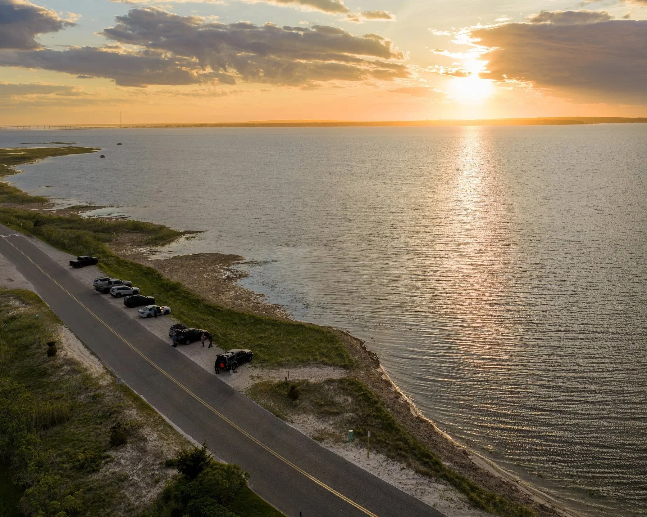
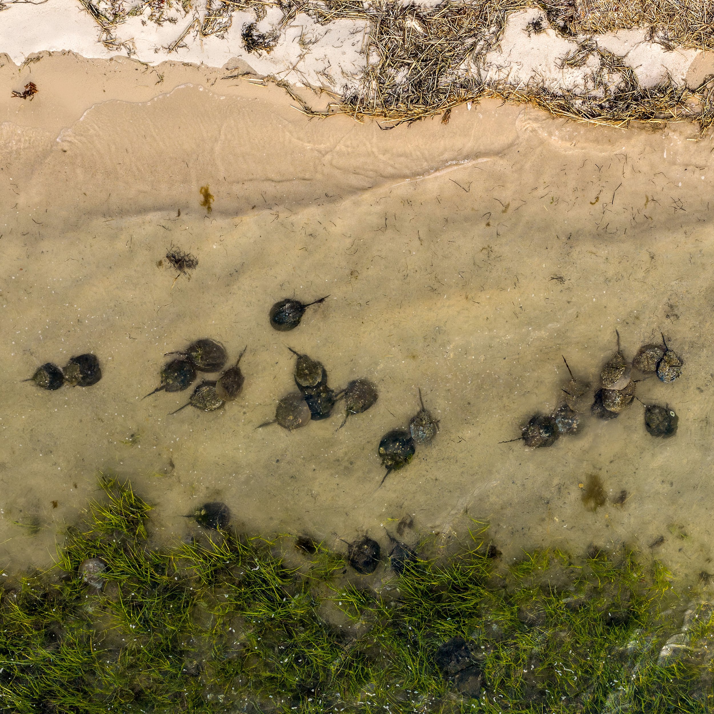
Each spring, horseshoe crabs return to Long Island's shorelines to spawn — and volunteers and researchers are there counting, tagging, and recording. Gaia Aerial Imagery documented this monitoring work from above, capturing the distribution of spawning crabs along the beach, the tidal setting, and the surrounding habitat in a way ground-level photos can't. The imagery supports Peconic Baykeeper's outreach and education, helping the public see both the scale of a spawning event and the people working to protect it.
Who this is for
Conservation nonprofits, land trusts, watershed and baykeeper organizations, town and village environmental departments, preserve managers, and researchers — anyone who needs a clear visual record of a landscape and data they can act on. All flights are conducted by an FAA Part 107 certified pilot with a background in conservation ecology (M.A.), so the work is grounded in both safe, legal operation and an understanding of the ecological questions behind it.
Start a monitoring project
If you're planning a coastal monitoring, habitat assessment, forest health, or shoreline change project on Long Island, get in touch — happy to walk through what a survey would look like for your site.