Coastal & Environmental Aerial Mapping
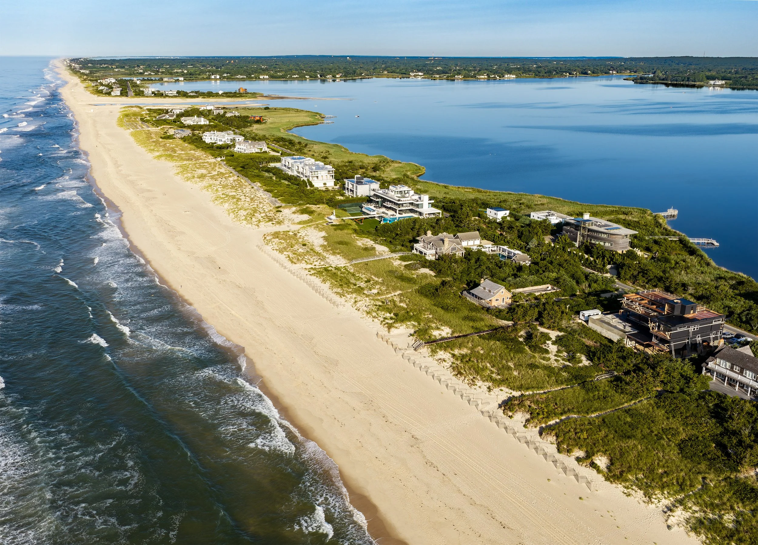
Long Island’s coastal and ecological landscapes are constantly changing. Repeatable aerial data collection provides a landscape-scale perspective that documents conditions, tracks change over time, and supports coastal resilience, restoration, and ecological monitoring.
Gaia provides high-resolution aerial imagery and documentation for shorelines, wetlands, dunes, coastal ponds, and other natural landscapes across Long Island and the Northeast. Using RTK-enabled positioning for consistent, georeferenced data collection, Gaia produces imagery and spatial data that support site assessment, restoration planning, and collaboration with surveyors, engineers, and environmental professionals.
These services help clients establish baseline conditions, monitor change, document storm impacts, and create clear visuals for planning, reporting, grant applications, and stakeholder communication.
Shoreline and dune change monitoring
Habitat and wetland assessment
Restoration tracking and before/after documentation
Storm-impact and post-event assessment
Grant applications and reporting visuals
This Work Supports:
Orthomosaic maps (high-resolution, georeferenced)
Digital elevation models (DEMs) and surface models
RTK-enabled data collection for high-accuracy spatial documentation
Repeat-monitoring imagery and before-and-after comparisons
Annotated maps and reporting-ready visuals
Typical Deliverables:
Case Studies
Coastal Monitoring at Flying Point Beach
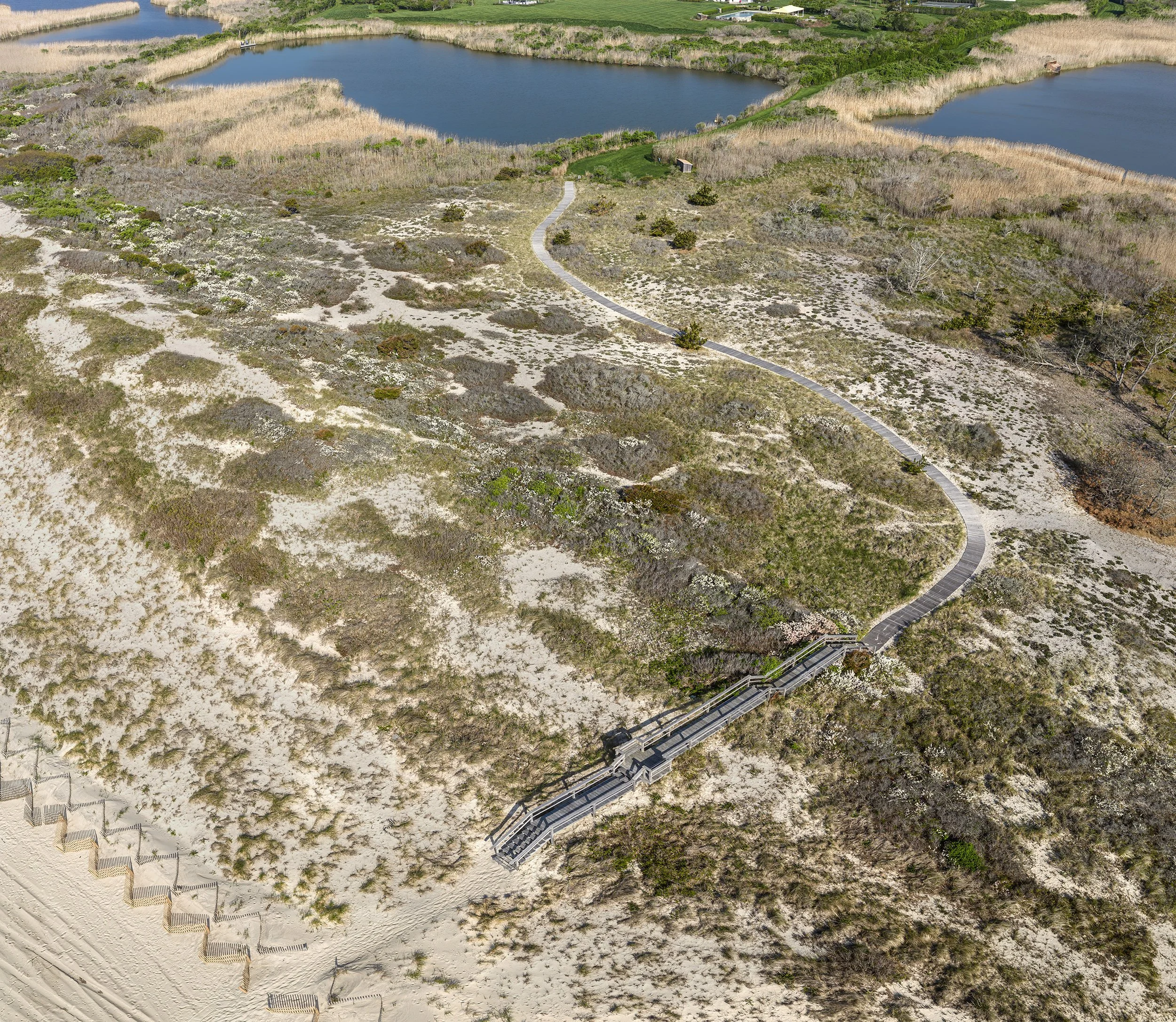
A complete photo-to-map workflow: hundreds of overlapping images flown in a structured grid are stitched into a seamless orthomosaic and processed into a digital elevation model capturing the frontal dune system from the beach face to crests more than 30 feet above sea level. The final annotated map highlights the pedestrian pathway, sand fencing, and dune features being tracked over time—providing a repeatable baseline for documenting erosion, dune conditions, and recovery from year to year.
Beech Leaf Disease Canopy Screening
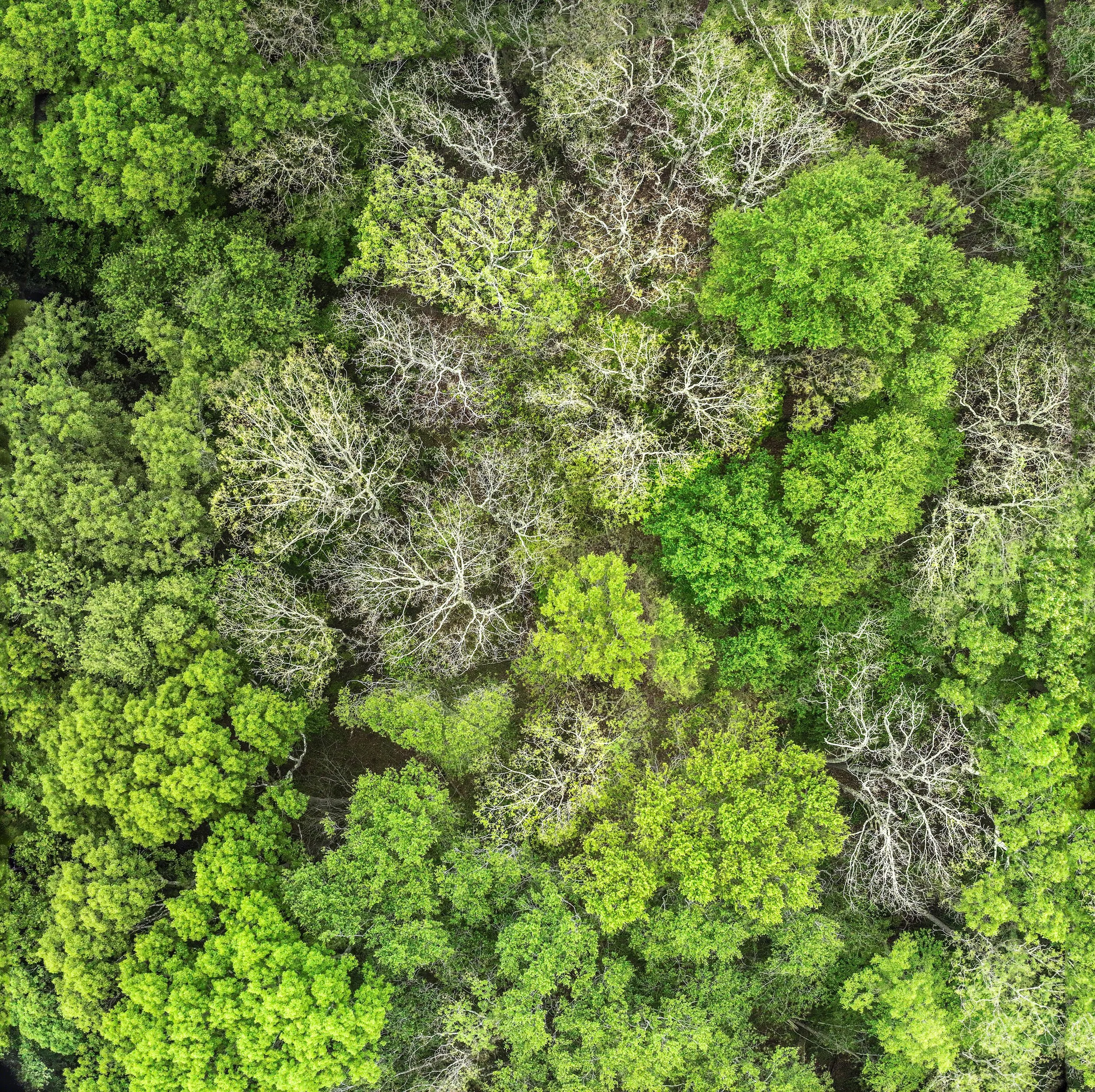
Beech leaf disease is an emerging threat to American beech across the Northeast, and it's difficult to assess across large wooded preserves from the ground. For this project, high-resolution aerial photography was used to screen forest canopy conditions — identifying areas of visible thinning and dieback that warranted closer field inspection. When dense canopy made a reliable orthomosaic impossible, the workflow was adapted: geotagged photos, a photo reference map, a canopy-concern screening map, and photo-level observations gave land managers a transparent, usable product and a baseline for future comparison.
Horseshoe Crab Monitoring
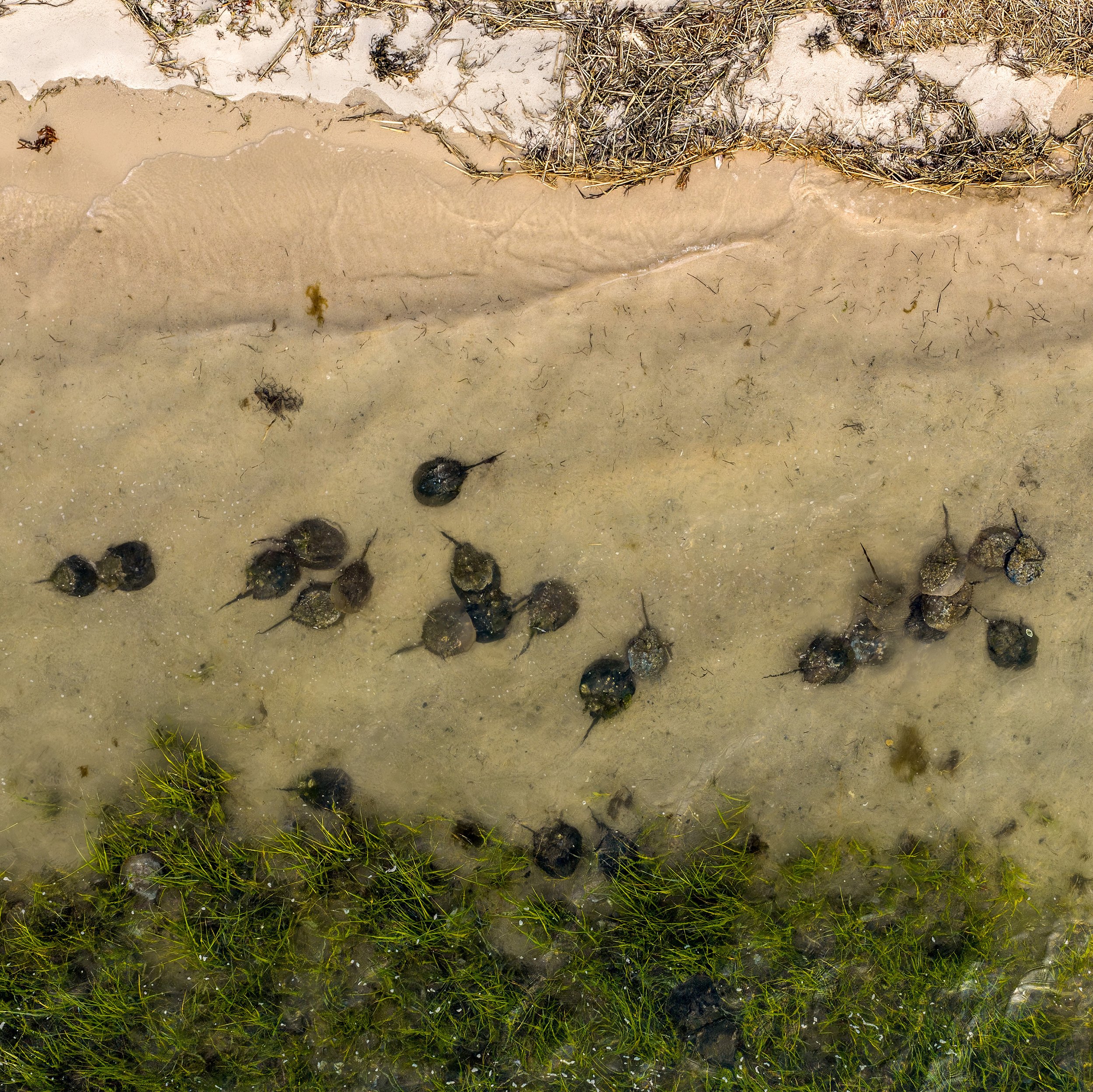
Each spring, horseshoe crabs return to Long Island's shorelines to spawn — and volunteers and researchers are there counting, tagging, and recording. Gaia Aerial Imagery documented this monitoring work from above, capturing the distribution of spawning crabs along the beach, the tidal setting, and the surrounding habitat in a way ground-level photos can't. The imagery supports Peconic Baykeeper's outreach and education, helping the public see both the scale of a spawning event and the people working to protect it.