
REAL ESTATE AERIAL PHOTOGRAPHY
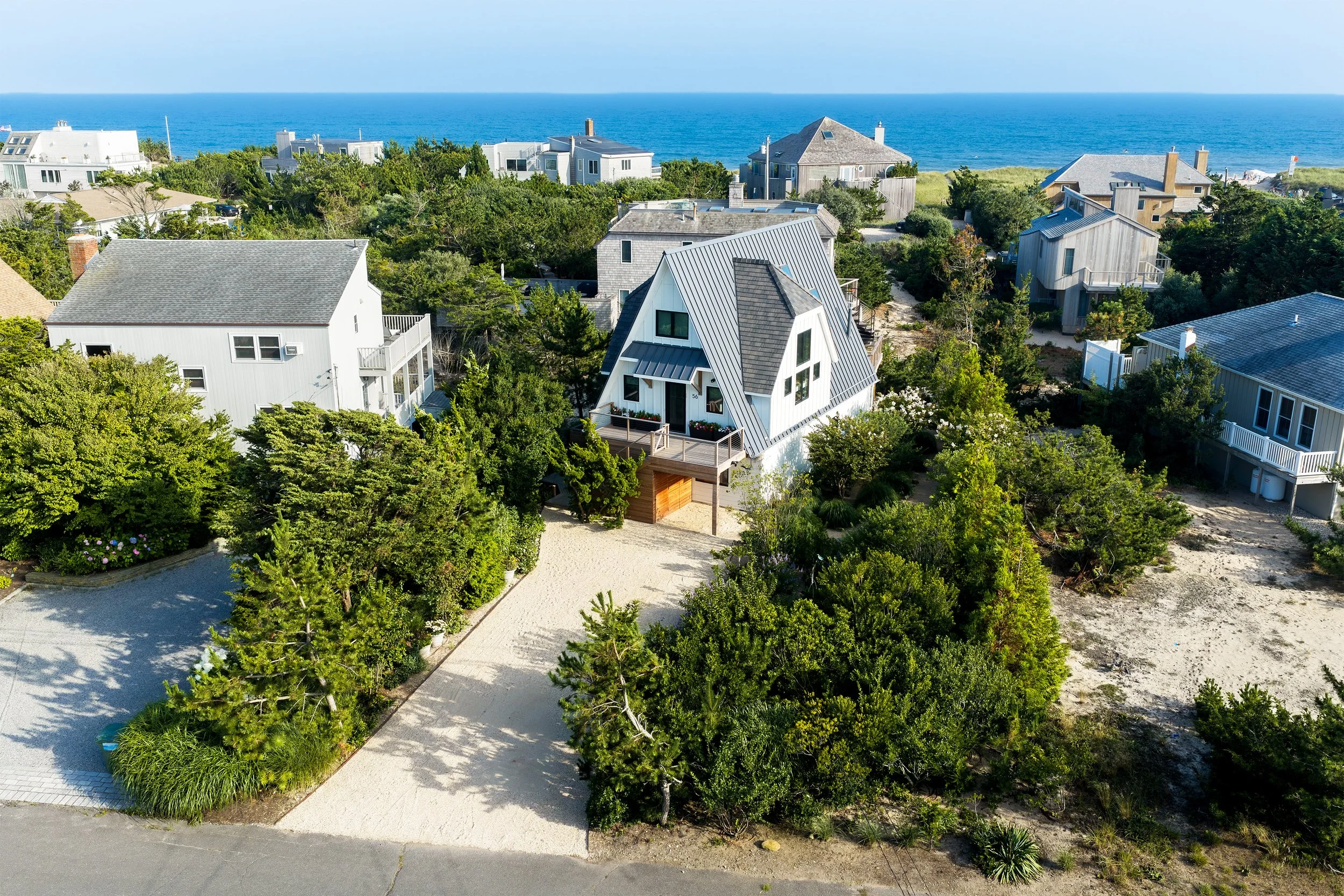
Aerial photography captures what ground-level photos can’t: a property’s layout, its surroundings and its relationship to the landscape. It’s the context buyers respond to before they ever walk through the door.
Show the whole setting, not just the house
A LANDSCAPE EYE
Photographed by someone who reads the land
Every property is photographed by an FAA Part 107 Certified Remote Pilot with a background in conservation and landscape ecology: an eye trained to see how a home sits within its surroundings, from a waterfront’s relationship to the shoreline to the way light and season shape a coastal lot. The result is marketing-ready imagery that helps a listing stand out.
Gaia provides high-resolution aerial photography for real estate professionals, homeowners, builders and property managers across Long Island.
WHY AERIAL?
Where aerial photography shines
More than a view from above: the water, the landscape and the natural character of a place, the things buyers fall for first.

RECENT WORK
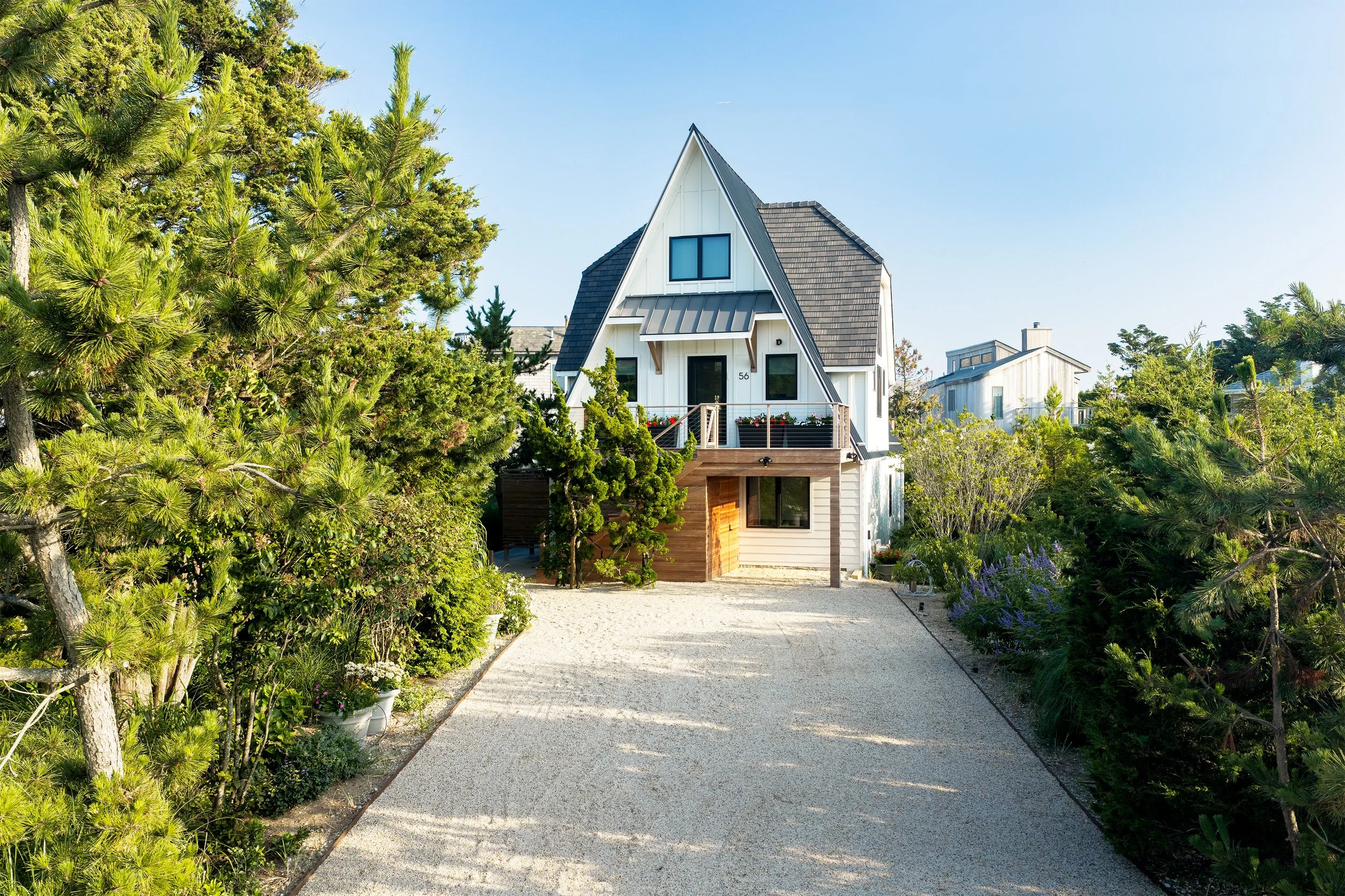
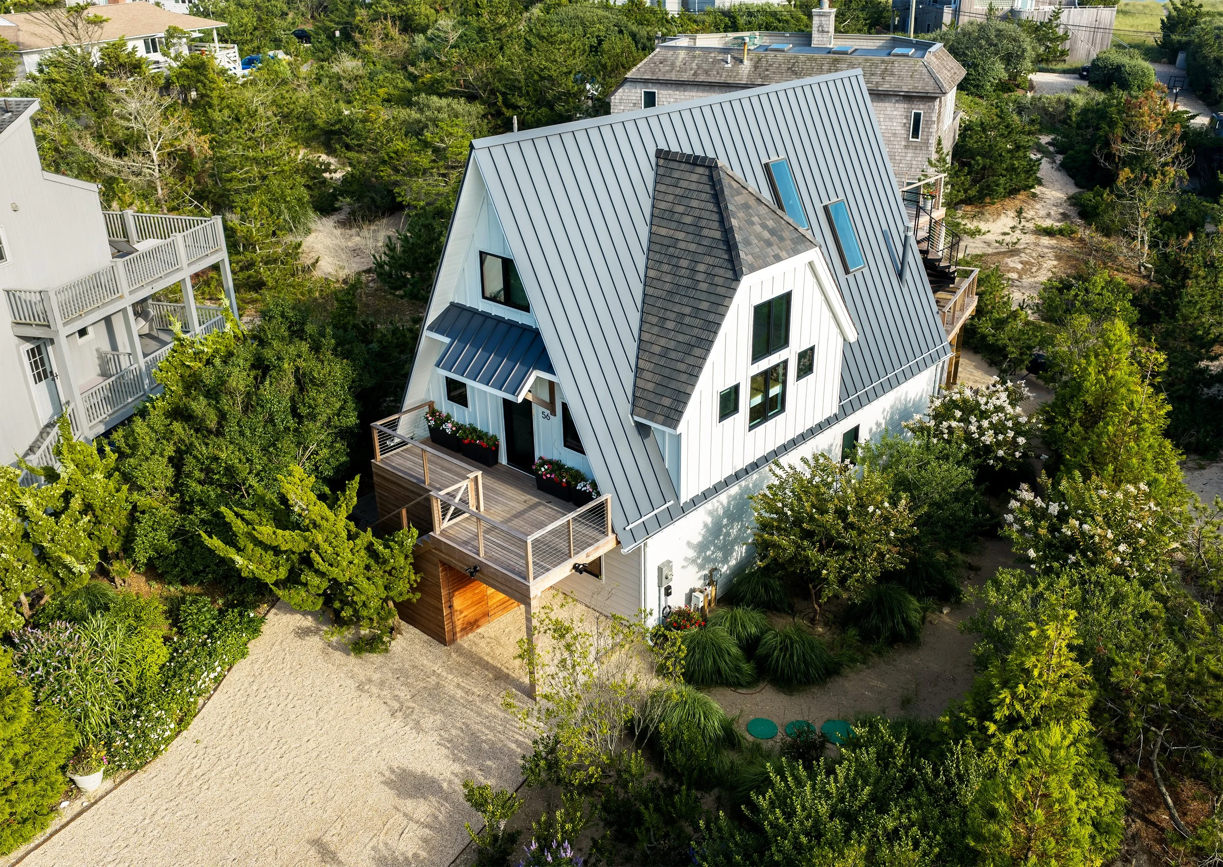
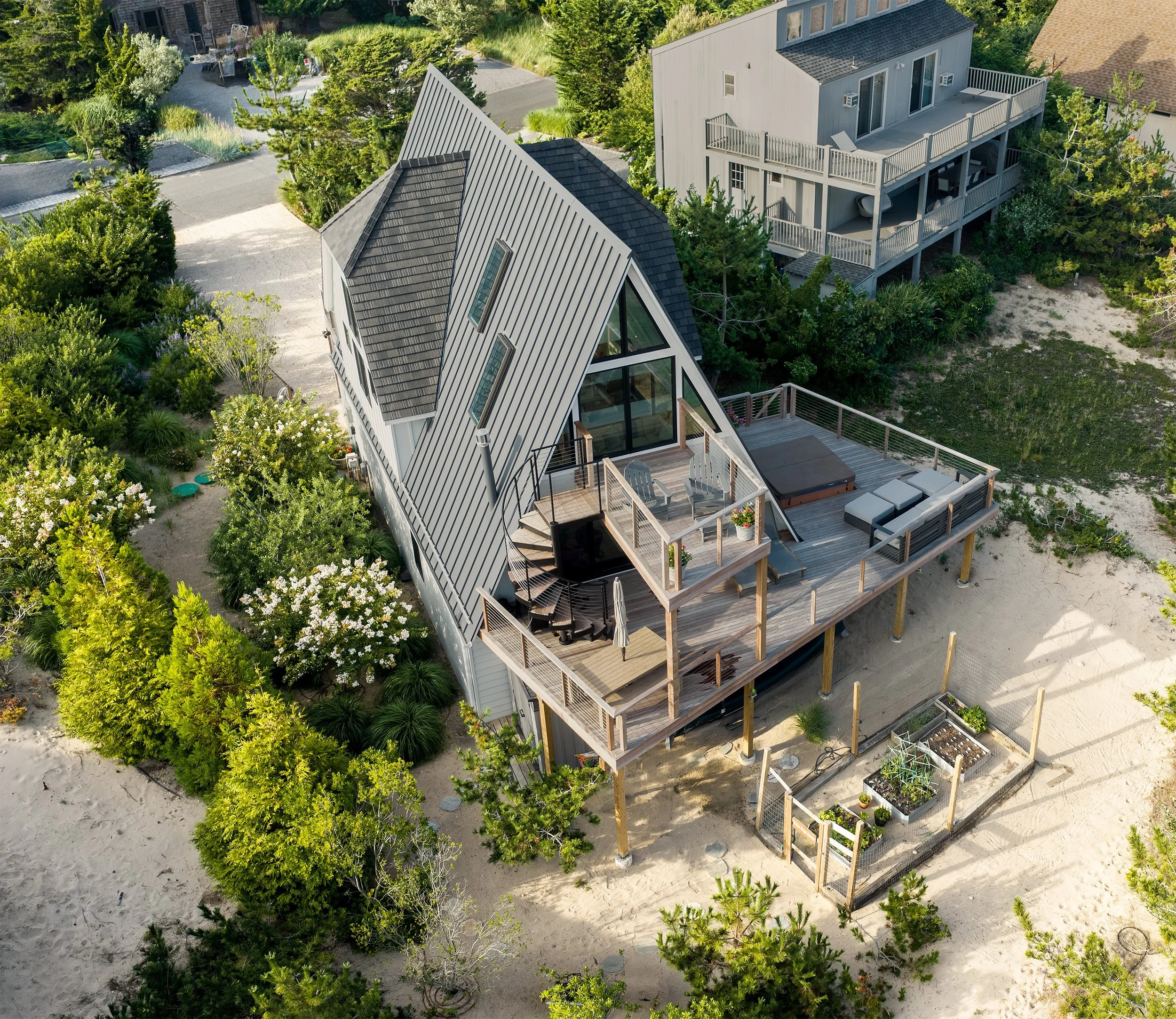
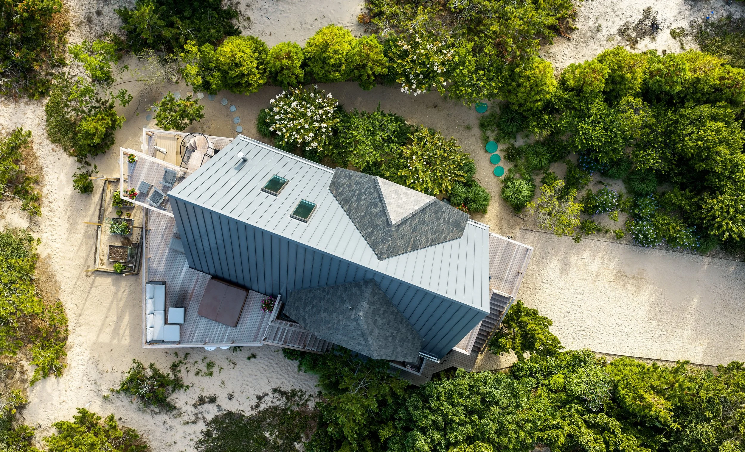
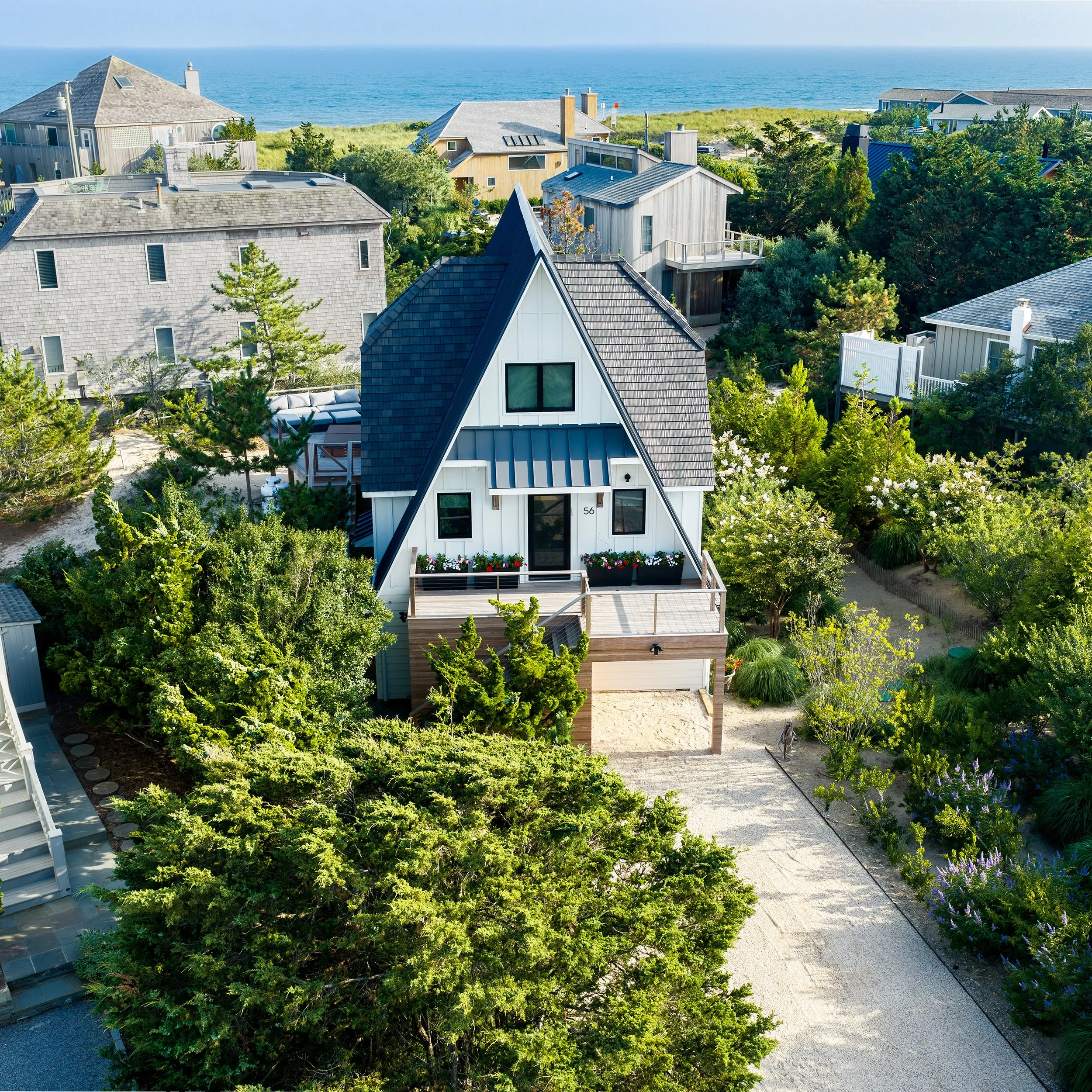
A modern A-frame tucked into the dunes, a short walk from the ocean. Aerials show the home in its coastal setting, its view to the water and the decks and gardens that make it special.
Amagansett, NY
RECENT WORK
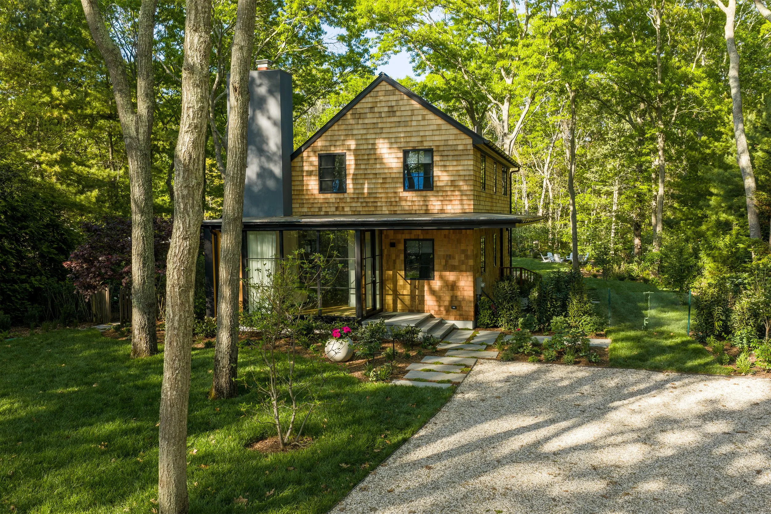
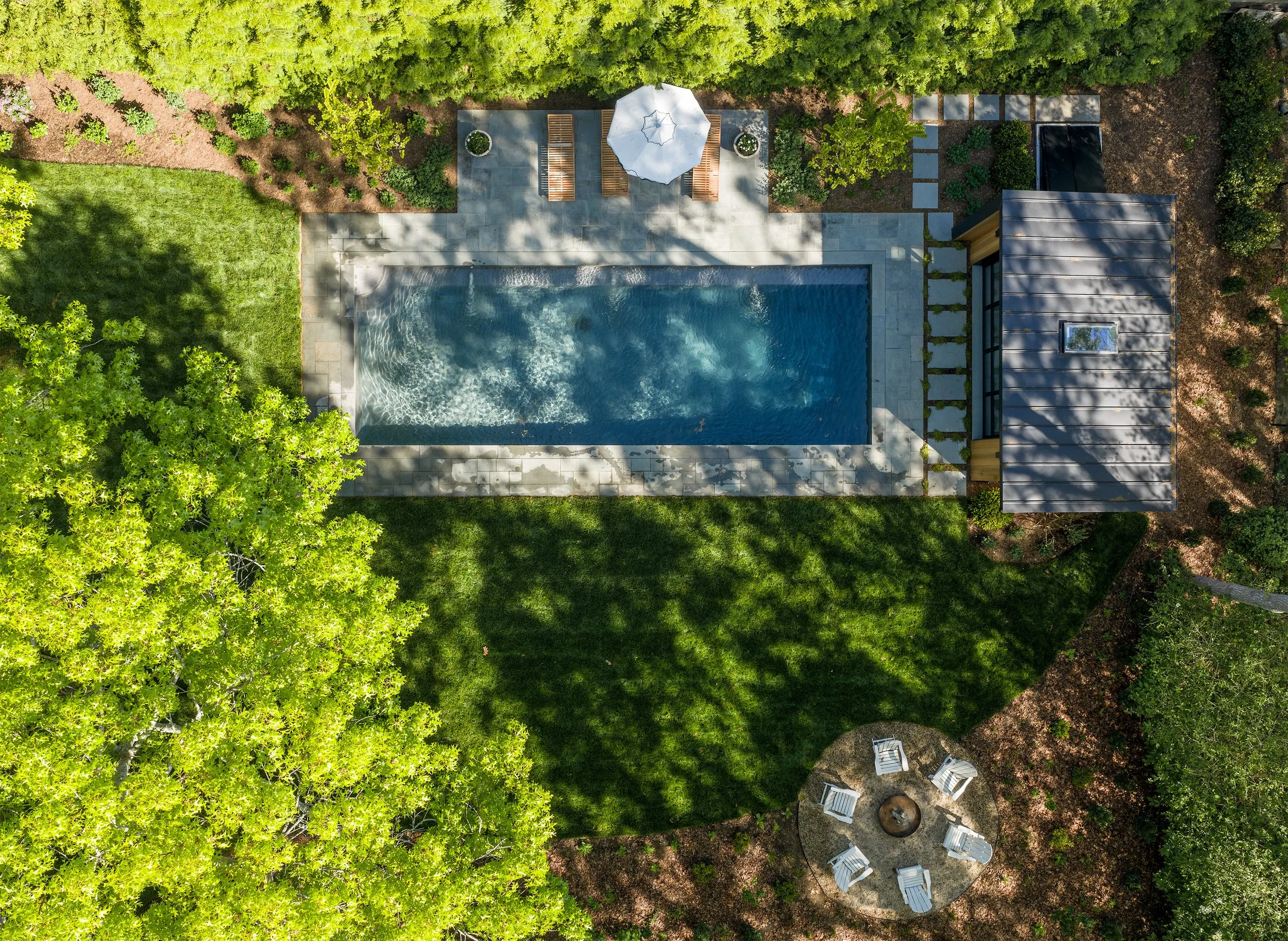
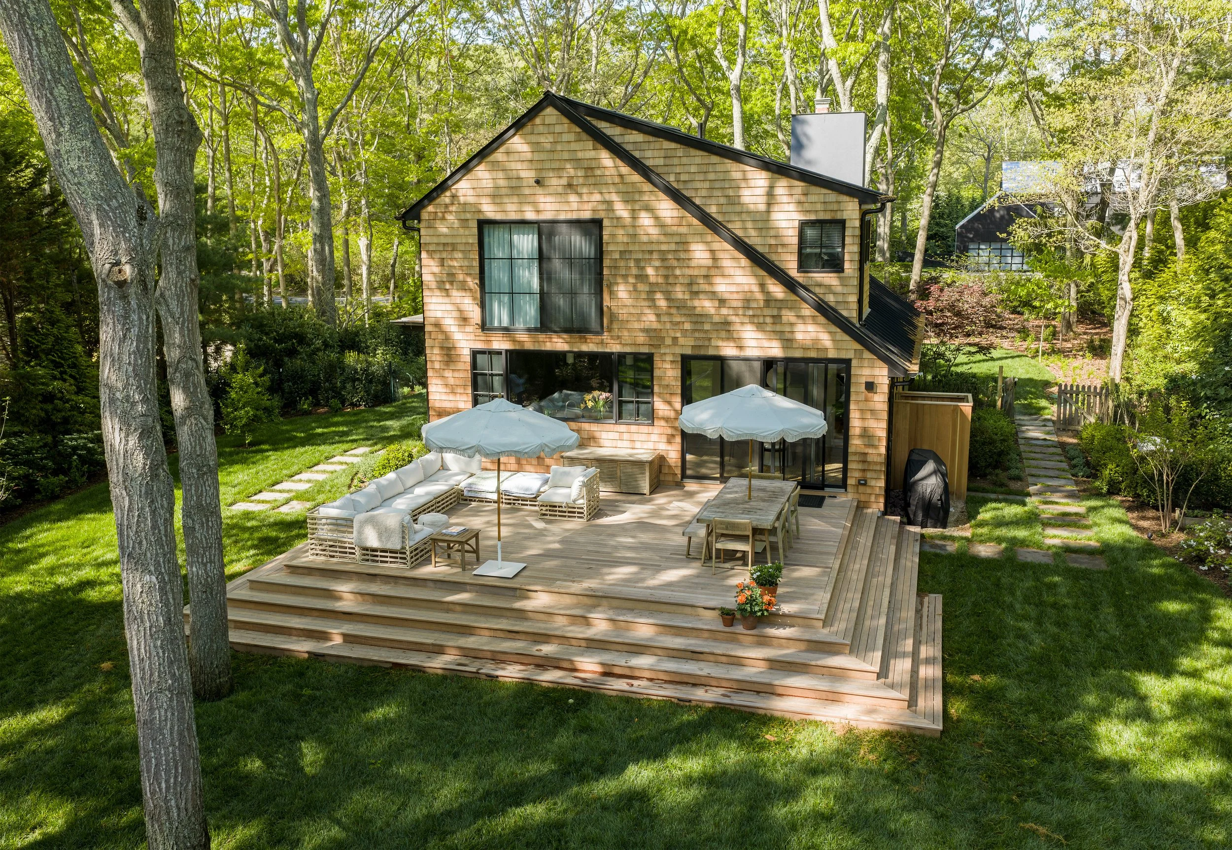
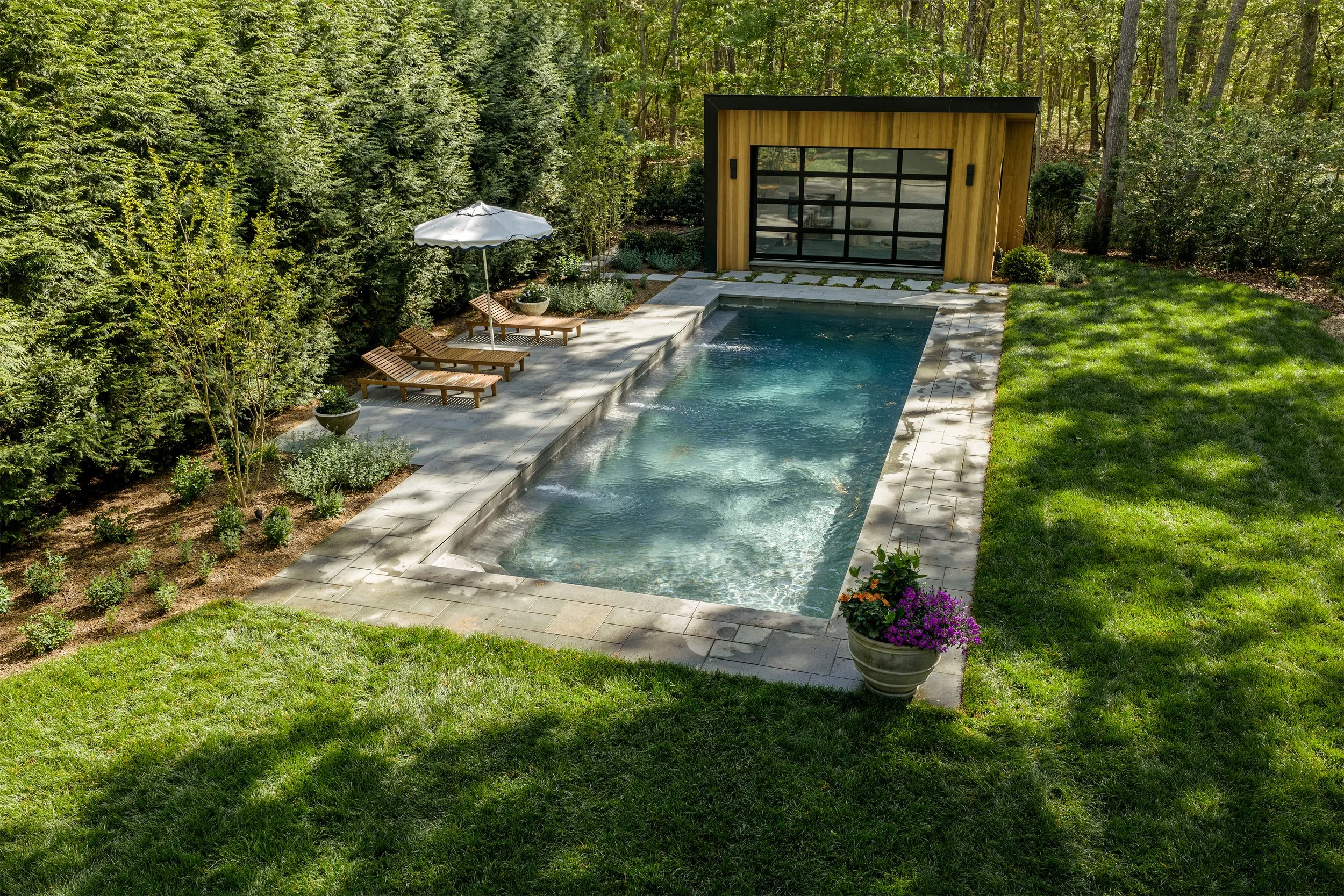
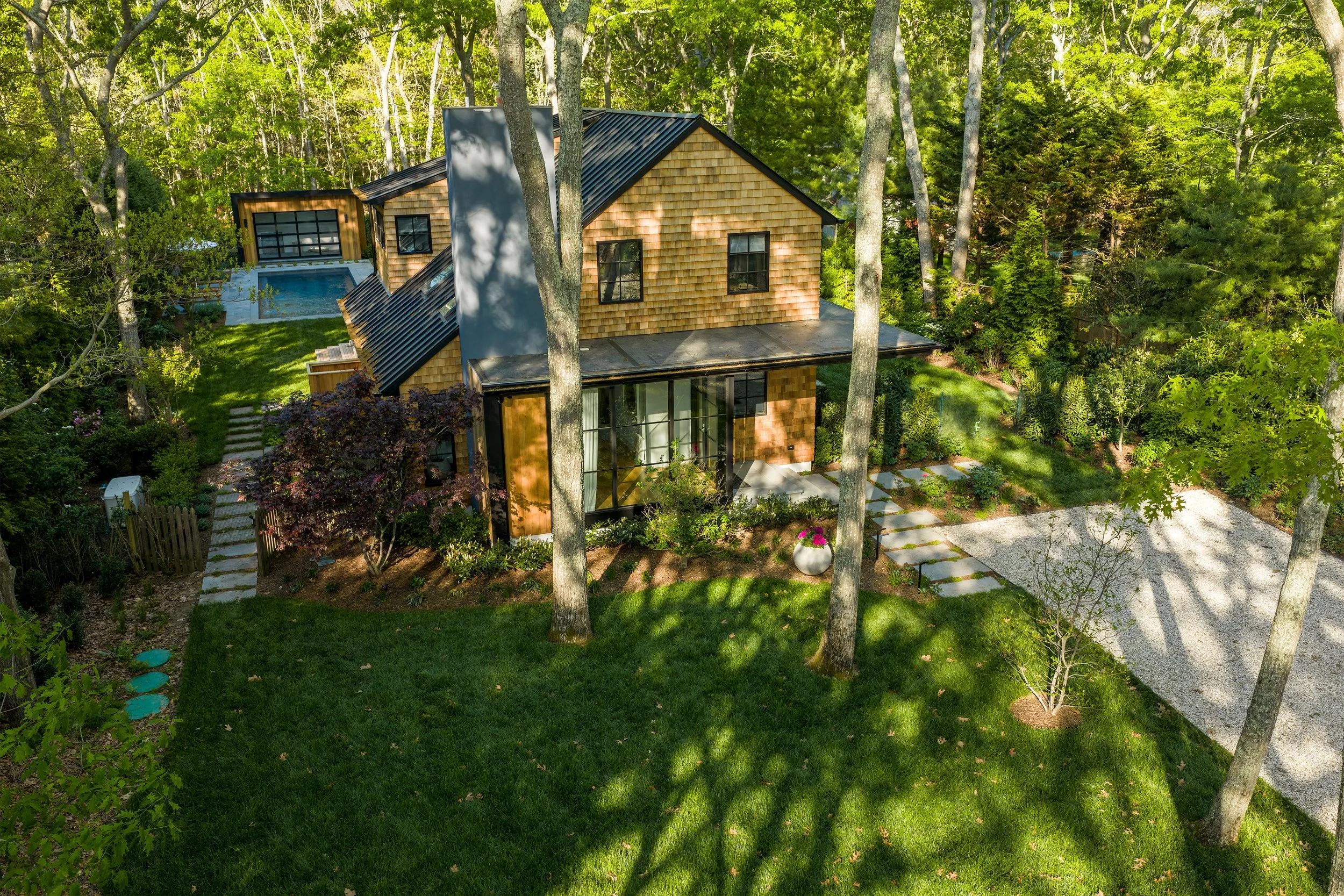
A cedar-shingled home in the woods with a pool, pool house and garden. Aerials capture the private, wooded lot and how the outdoor spaces flow from the house.
Sag Harbor, NY
MY APPROACH
Thoughtful, safe and ready to use