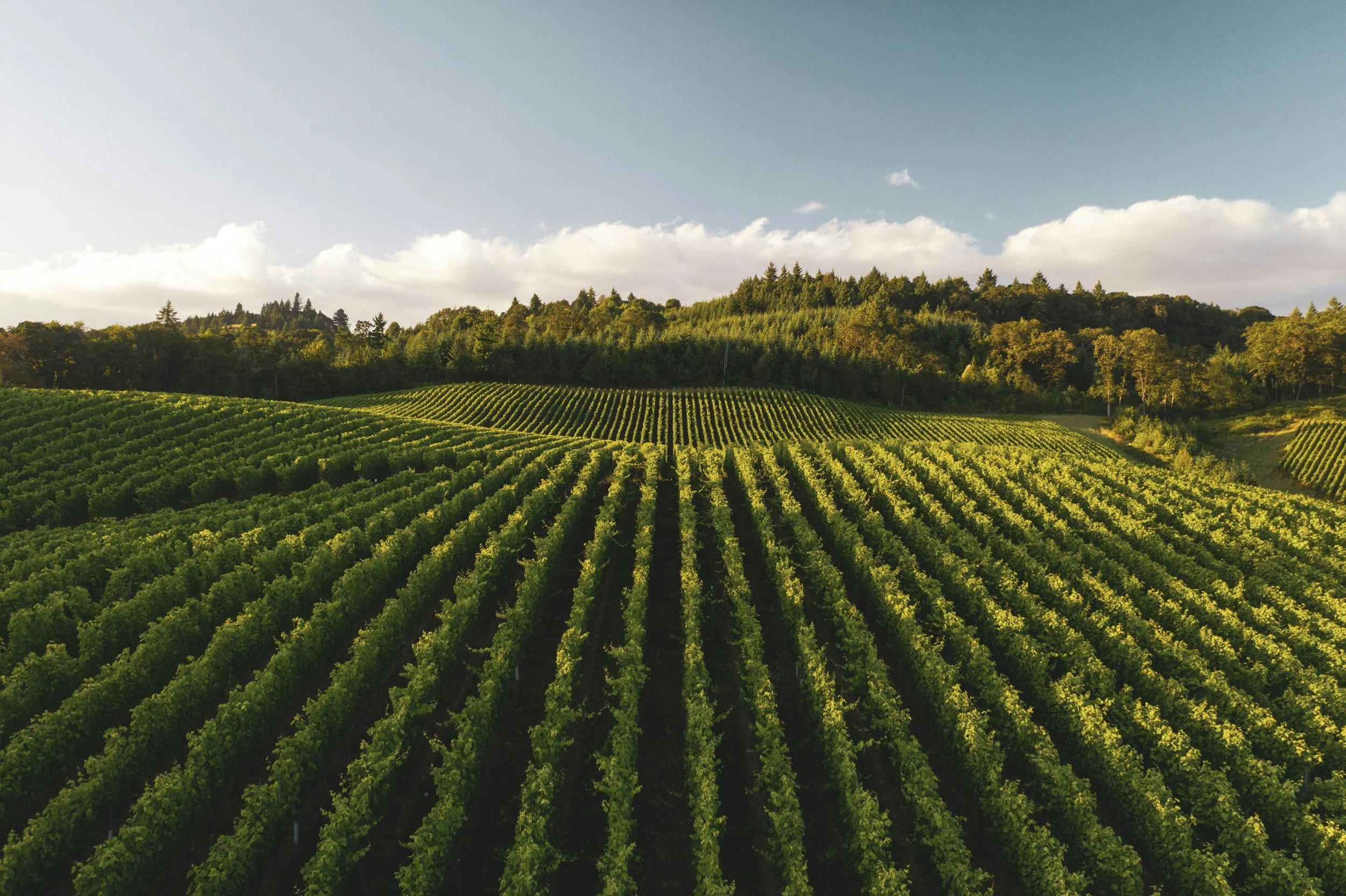
Working Landscapes
Aerial photography and mapping for farms, vineyards, nurseries, estates, and landscape firms.
Landscapes shaped by cultivation, design, and stewardship change constantly—season to season and project to project. Aerial imagery gives farms, vineyards, and landscape professionals a way to document that change, showcase completed work, and communicate the full character of a property.
Gaia provides high-resolution aerial imagery, and optional mapping, for working lands across Long Island's East End, North Fork wine country, South Fork agricultural lands, and beyond.
Imagery that helps vineyards tell their vintage story, farms document field health and seasonal progress, landscape firms showcase completed installations, and estate owners understand and communicate the character of their land.
Vineyards and wineries documenting the growing season
Farms tracking field health and seasonal progress
Landscape and design firms showcasing completed installations
Nurseries and estates documenting property character
Before-and-after visuals for planting, installation, or site changes
Well Suited For:
Edited aerial photography sets
Property overview imagery and seasonal documentation
Before-and-after visuals for installations or site changes
Optional orthomosaic maps for site layout and land-use context
Web-, social-, and print-ready files