
Drone Imagery for Forest Health Monitoring: Lessons from a Beech Leaf Disease Project
Forest health is becoming an increasingly important focus for conservation organizations and land managers as beech leaf disease continues to spread across the Northeast. While field surveys remain essential, drone imagery can provide a valuable aerial perspective for documenting canopy conditions, creating visual baselines, and helping prioritize field investigations. Recently, Gaia Aerial Imagery supported a local conservation project that explored how high-resolution aerial imagery could complement ground-based monitoring—not by diagnosing individual trees, but by helping identify areas for closer inspection and documenting canopy conditions over time.
Why Beech Leaf Disease Monitoring Matters
American beech trees play an important role in northeastern forests, providing wildlife habitat, contributing to forest structure, and producing beechnuts that are an important food source for many birds and mammals.
Assessing forest health across large wooded properties can be challenging. Symptoms vary by tree, canopy position, and season, while dense vegetation often limits visibility from the ground. Drone imagery provides a complementary perspective by helping identify visible canopy stress and creating a repeatable visual record that can be compared over time.
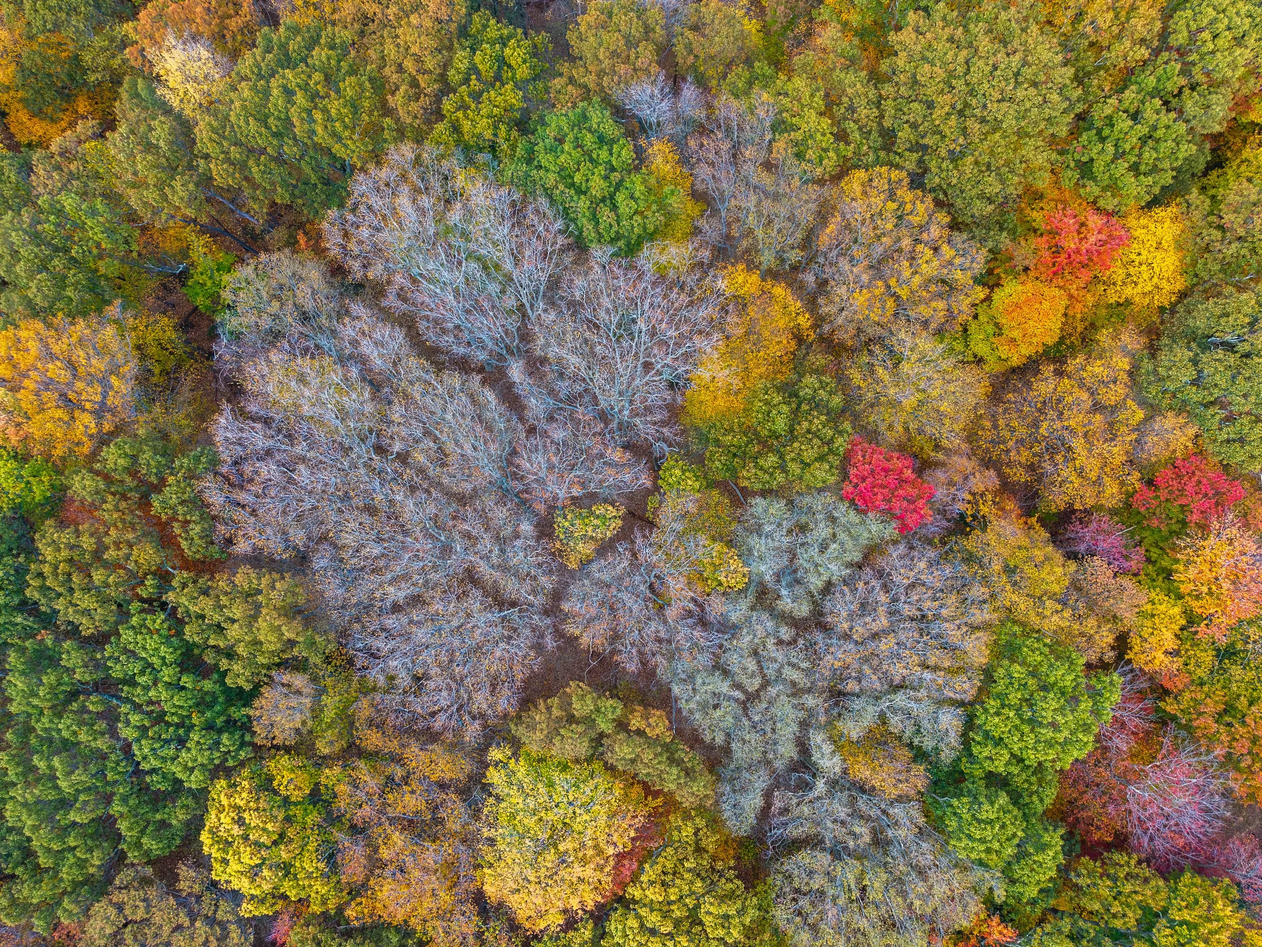
High-resolution drone image showing a cluster of leafless beech tree canopies surrounded by healthy autumn forest.
Project Approach
For this project, Gaia Aerial Imagery conducted flights using an RTK-enabled drone to collect high-resolution overlapping imagery across a forested preserve. The original objective was to produce a complete orthomosaic map that would provide a continuous aerial view of the site.
However, dense canopy cover, overlapping tree crowns, and repetitive leaf patterns made reliable image alignment difficult. Rather than producing a map with unnecessary uncertainty, the workflow was adapted to focus on individual geotagged photographs and a manual canopy review. Because each image retained precise geographic coordinates, observations could be linked back to approximate locations within the forest for future field verification.
The final project materials included:
A screening map identifying areas of visible canopy concern
A spreadsheet documenting photo-level observations
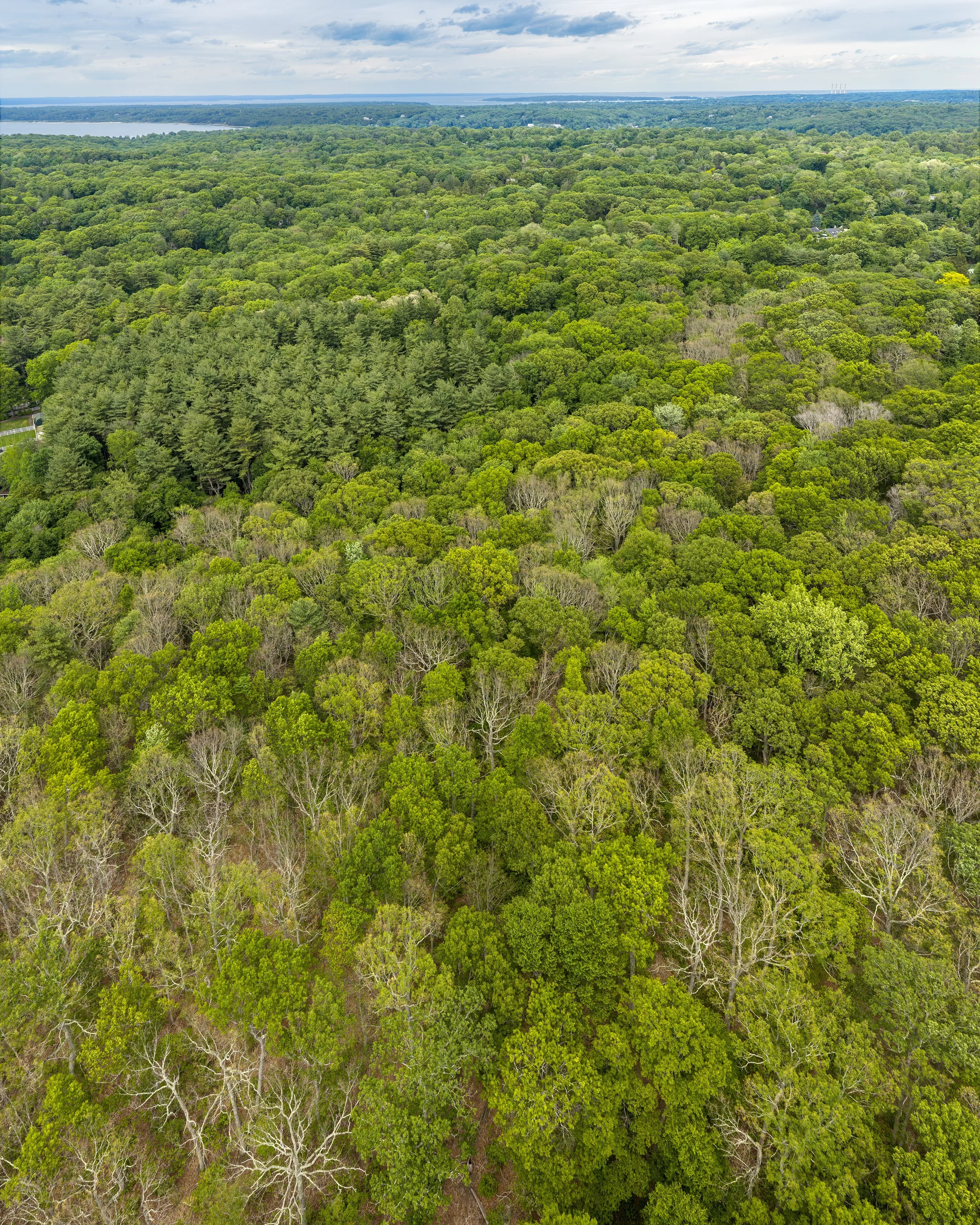
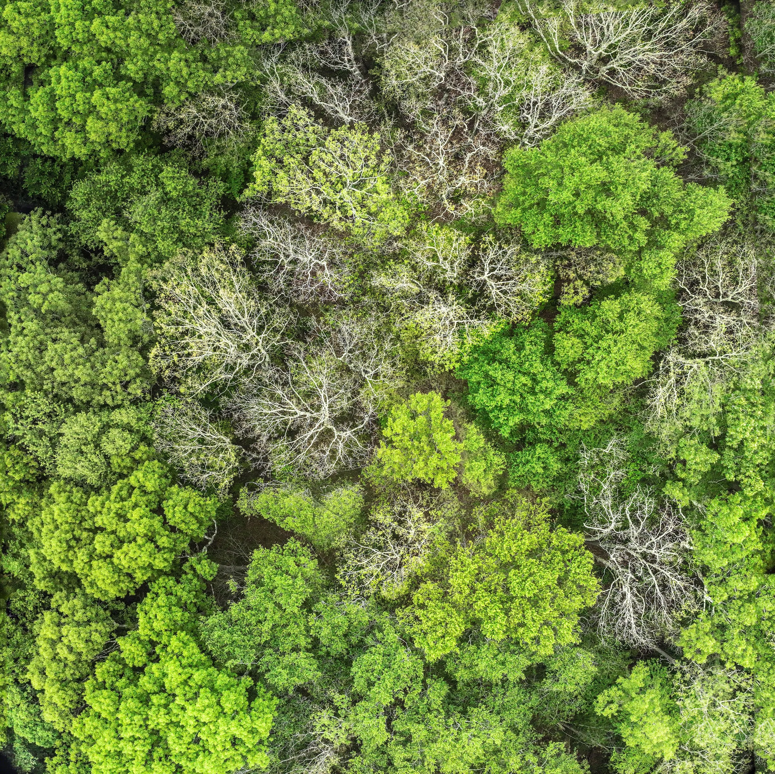
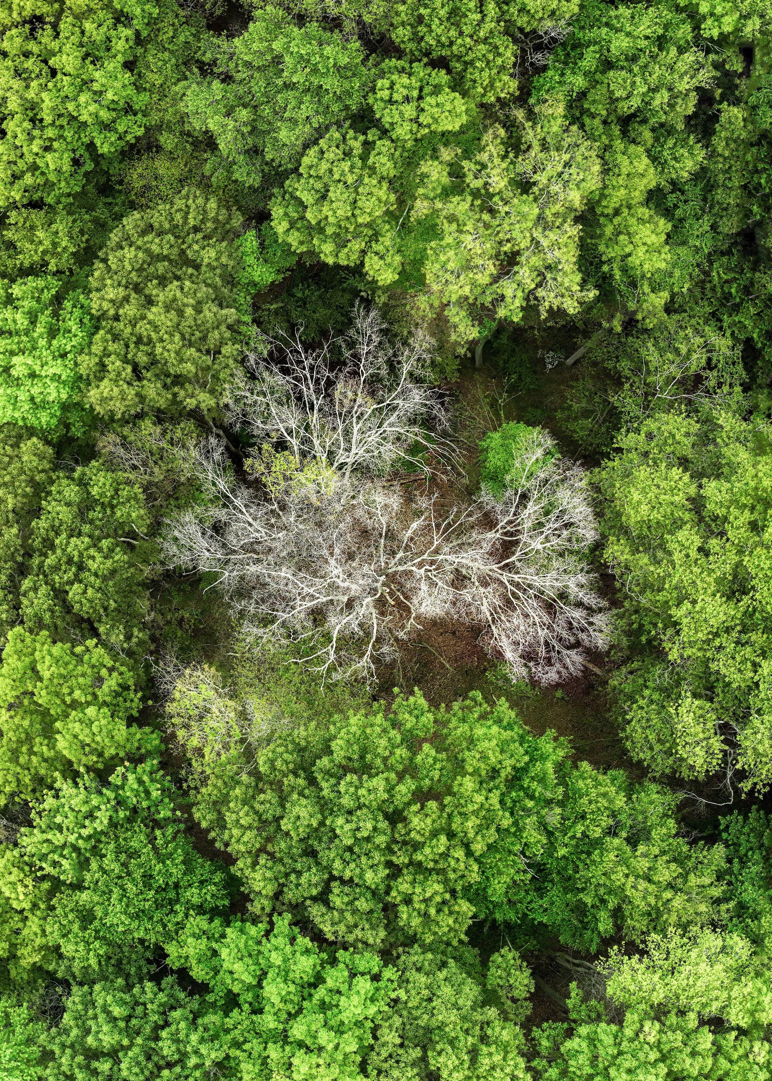
Representative aerial photographs illustrating different canopy conditions across the site
A summary of observed canopy patterns to help guide future field investigations
Although the project evolved differently than originally planned, adapting the workflow allowed the imagery to remain both useful and scientifically transparent while preserving its geographic context.
What Drone Imagery Can — and Cannot — Tell Us
Drone imagery is a valuable screening and documentation tool for forest health monitoring, but it is not a replacement for field-based diagnosis.
From the air, it may be possible to observe discoloration, thinning, crown dieback, or other canopy stress that can help land managers identify areas that deserve closer attention and improve the efficiency of field surveys. However, many forest health issues can appear similar, and the defining symptoms of beech leaf disease occur at the leaf level. For this reason, the imagery collected during this project was used to guide field investigations and establish a visual baseline that can be compared with future surveys to document changes over time.
Lessons Learned
This project reinforced the importance of matching the mapping workflow to the landscape. While open environments such as beaches, marshes, and agricultural fields often produce excellent orthomosaics, dense forests present unique challenges because overlapping tree crowns and repetitive canopy textures make image alignment more difficult.
In this case, individual geotagged photographs proved to be a more reliable product than a stitched orthomosaic, demonstrating that flexibility in workflow can produce better results than forcing a standard deliverable.
Looking Ahead
As forests face increasing pressures from disease, invasive species, and climate change, conservation organizations need practical tools that support both science and communication. Drone imagery is not a standalone solution, but it provides a valuable visual layer within a broader monitoring strategy.
At Gaia Aerial Imagery, we work with conservation organizations, environmental consultants, municipalities, and land managers to develop drone-based monitoring workflows tailored to each site's unique conditions—creating repeatable visual records that support informed environmental stewardship.